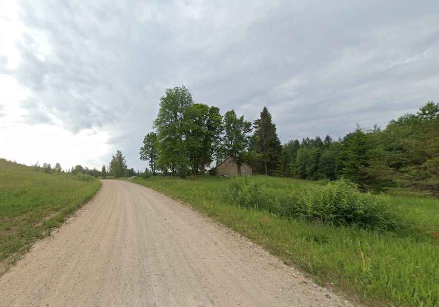
The road to Gaizinkalns, the highest point in Latvia
At an elevation of 311 m (1,020 ft) above sea level, Gaizinkalns is the highest mountain in Latvia.

Where is Gaizinkalns?
The peak is located in the Vidzemes Highlands in eastern Latvia. It’s the second highest elevation in the Baltic States. The hill is part of the Gaiziņkalns Nature Park, located in the territories of Vestiena, Bērzaune, and Arona parishes of the Madona District.
Why is Gaizinkalns famous?
At the summit, there is a 45 m high watchtower from the Cold War. It is a wrecked viewing tower and entry is prohibited. For your own safety, you should not attempt to enter. It is an artifact from Soviet times, but it is in very poor condition, so climbing it is strongly discouraged.
How long is the road to Gaizinkalns?
The road to the summit is completely unpaved. Starting from the paved P81 in Bērzaune, the road is 11.2 km (6.95 miles) long and ends at a parking lot. From there, you can take a path to climb Latvia’s highest hill, Gaiziņkalns, and cross the hilltop over its full length (~1 km). A spectacular panorama unfolds over the four slopes: "Ladies' Paradise," "The Western Slope," "The Lesser Golgotha," and "Golgotha."
What’s the weather like at Gaizinkalns?
The climate of the Vidzeme region is characterized by low temperatures in January (-6°C) and moderate temperatures in July (+16.5°C). The region experiences high rainfall (750 mm), a large number of cloudy days, and a thick layer of snow in winter, with an average snow thickness of over 40 cm.