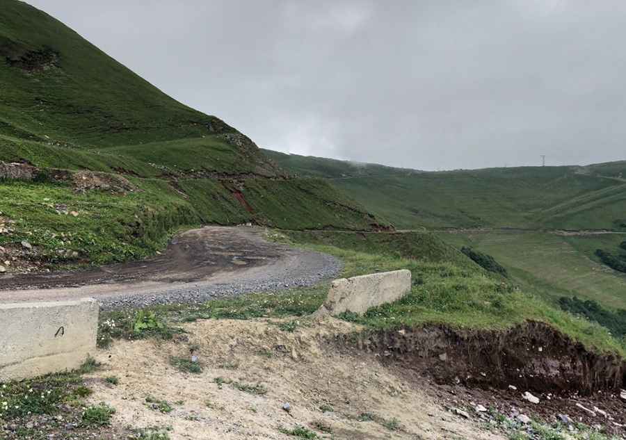
The Road to Tskhratskaro Pass is Not for the Faint of Heart
Tskhratskaro Pass is a high mountain pass at an elevation of 2,471m (8,106ft) above sea level, located in the Samtskhe–Javakheti region of Georgia. It’s a rough, winding road that is very steep.

Where is Tskhratskaro Pass?
The pass is located in the southern part of the country, within the Ktsia-Tabatskuri Managed Reserve. At the summit, there’s a police checkpoint in the middle of nowhere where they check all your paperwork.
Is Tskhratskaro Pass Unpaved?
The road through the summit is entirely unpaved, featuring loose rocks, very narrow sections, dangerous drop-offs, and steep parts. It’s called M-20. Although open to all motorized vehicles, it is strongly recommended for 4-wheel drive vehicles. At first, it is passable, but it becomes more difficult as you go on.
How Long is Tskhratskaro Pass?
The pass is 79.2 km (49.21 miles) long, running south-north from Akhalkalaki (the administrative center of the Akhalkalaki Municipality) to Borjomi, a resort town. You should have enough fuel and food as there are no petrol stations or shops available along the route.
Is Tskhratskaro Pass Open in Winter?
Set high in the Trialeti mountain range, this road should not be traveled in severe weather conditions. Avalanches, heavy snowfalls, and landslides can close the road at any time, making it extremely dangerous due to frequent patches of ice.
Is Tskhratskaro Pass Worth the Drive?
The scenery is truly beautiful, but you won’t be able to take your eyes off the road. Don't forget your camera with plenty of film or memory, fully charged batteries, and an empty memory card! The pass offers sweeping views of the Borjomi-Bakuriani landscape and breathtaking views of the Greater Caucasus, including the peaks of Mount Elbrus and Tabatskuri Lake.
Pic: Guram Tamazich