Vyssi Brod Pass: The Ultimate Road Trip Guide
Vyšší Brod Pass is an international mountain pass at an elevation of 752m (2,467ft) above sea level, located on the border of Austria and the Czech Republic.
Where is Vyšší Brod Pass?
Set high in the Bohemian Forest, the pass, known as Vyšebrodský Průsmyk and Hohenfurther Pass, links the South Bohemian Region of the Czech Republic and the Austrian state of Upper Austria.
When was the road through Vyšší Brod Pass built?
The first road through the pass was built in Roman times.
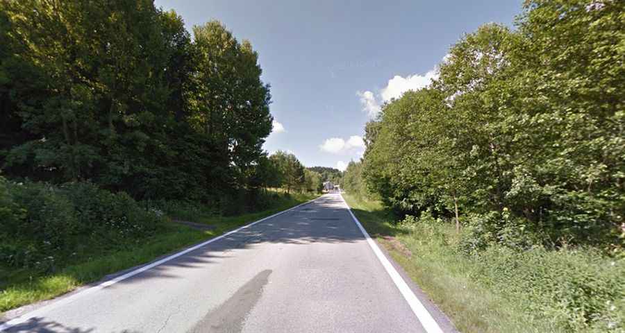
Is the road to Vyšší Brod Pass paved?
The road to the summit is totally paved. It’s called B126 in Austria and Route 161 in the Czech Republic.
How long is Vyšší Brod Pass?
The pass is 12.2 km (7.58 miles) long, running north-south from Vyšší Brod (in Český Krumlov District in the South Bohemian Region of the Czech Republic) to Bad Leonfelden (in the district of Urfahr-Umgebung in the Austrian state of Upper Austria).