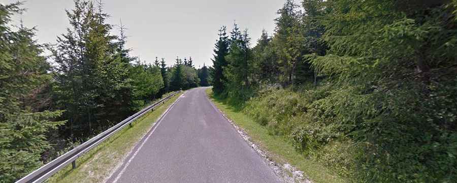
Driving the paved road to Okraj Pass on the Czech-Polish border
Okraj Pass is an international mountain pass at an elevation of 1,054m (3,458ft) above sea level, located on the border between Poland and the Czech Republic.

Where is Okraj Pass?
The pass links the historical region of Lower Silesia in southwestern Poland with the Hradec Králové Region in northern Czech Republic. The road through the summit was constructed by Germans in 1937.
Is Okraj Pass Paved?
The road to the summit is completely paved but can be challenging, with narrow sections and steep inclines that reach a maximum gradient of 10% on some ramps. It’s referred to as Road 368 in Poland and Road 252 in the Czech Republic.
How Long is Okraj Pass?
The pass is 56.4 km (35.04 miles) long, running north-south from Jelenia Góra in southwestern Poland to Trutnov in northern Czech Republic.