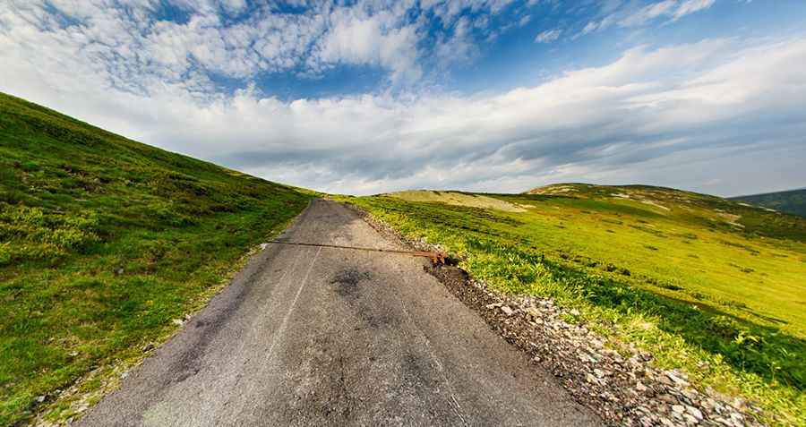
A paved road to the top of Lucni Hora
Luční Hora is a high mountain peak at an elevation of 1.512m (4,960ft) above sea level, located in the Hradec Králové Region of the Czech Republic.

Where is Luční Hora?
The peak, also known as Luční Bouda, is located on the eastern part of the Krkonoše mountains, within the Krkonoše National Park, (often abbreviated as KRNAP), in the northern part of the country, near the Polish border.
Why is Luční Hora famous?
The summit hosts a memorial to the Victims of the Krkonoše mountains (Giant Mountains). It is a former stone chapel, in which there are plaques with the names of people who died here as a consequence of avalanches, falls, lightning or frost.
Is Luční Hora paved?
The road to the summit is totally paved but pretty narrow. High risk of avalanches. The peak can be reached most of the year, as long as there’s no snow.
How long is the road to Luční Hora?
The road to the summit is very steep, hitting a 20% of maximum gradient through some of the ramps. Starting at the paved 295 road, the ascent is 13.8 km (8.57 miles) long. Over this distance the elevation gain is 935 meters. The average gradient is 6.77%. The road ends at Hotel Luční Bouda.
Pic: Castek Vitezslav