Driver's guide: The curvy road to Cervenohorske Sedlo Pass
Červenohorské Sedlo is a mountain pass at an elevation of 1.011m (3,316ft) above the sea level, located in the Olomouc Region of the Czech Republic.
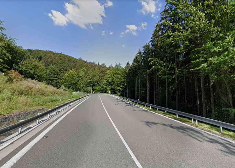
Is the road to Cervenohorske Sedlo Pass paved?
Set high at the western end of the Hrubý Jeseník (Jeseník Mountains), the road to the summit is fully paved. It's known as Road I/44. This road is reputed to be the highest-placed category I road in the Czech Republic.
How long is the road to Cervenohorske Sedlo Pass?
The pass spans 22.7 km (14.10 miles) and runs from Bělá pod Pradědem to Loučná nad Desnou. At its summit, there is a ski resort named Ski areál Červenohorské sedlo Jeseníky.
Is the road to Cervenohorske Sedlo Pass challenging?
The drive is notably challenging, with its 12 hairpin turns and steep sections that reach a maximum gradient of 8.8%. Moreover, there is a heightened police presence, especially on weekends.
When was the road to Červenohorské Sedlo Pass rebuilt?
Previously, the road was extremely perilous due to the absence of a retaining system. This posed a heightened risk for drivers and pedestrians, especially during winter months. However, in 2017, the road underwent a full reconstruction to enhance safety and manage traffic flow on this significant and frequently traveled road. Enhancements included widening the curves and introducing overtaking sections approximately 1,000m in length.