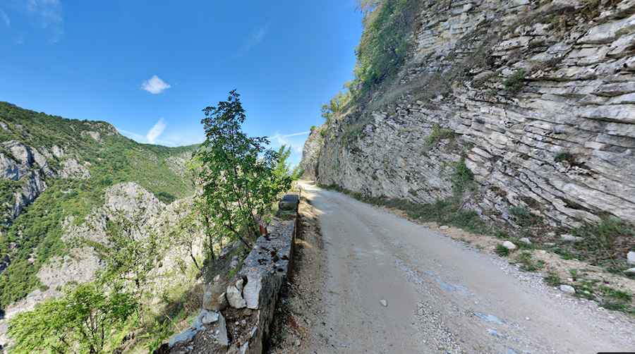
Driving the Unpaved Road to Vrgorac in Southern Bosnia and Herzegovina is for Brave Drivers Only
Vrgorac is a mountain peak at an elevation of 1,247m (4,091ft) above sea level, located in Republika Srpska, in Bosnia and Herzegovina.

Where is Vrgorac?
The peak is located in the southern part of the country, within Sutjeska National Park. The wild nature and absence of modern civilization give these mountains a unique appeal.
Is the Road to Vrgorac Unpaved?
The road to the summit is mostly unpaved. It’s called R433, and a 4x4 vehicle is recommended. The road can be difficult to traverse, especially after rain, with narrow parts, steep sections, countless curves, and many hairpin turns.
How Long is the Road to Vrgorac?
The road to the summit is 45.6 km (28.33 miles) long, running north-south from R436 road in Kalinovik to M6.1 road in Kifino Selo.
Is the Road to Vrgorac Worth the Drive?
The drive offers stunning views of the mountains and provides access to the Medieval Tombstones of Morine, as well as the Crkva sv. Ane i sv. Joakima church.
Pic: Hendrik