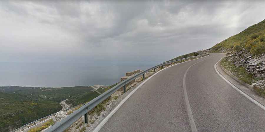
The winding coastal road to Llogara Pass in Albania
Llogara Pass (Qafa e Llogarasë) is a high mountain pass at an elevation of 1,043m (3,422ft) above sea level, located in Vlorë County, in Albania. It's one of the best coastal drives in the world.

Where is Llogara Pass?
Tucked away on the southwestern part of the country, within the Llogara National Park, the pass connects the Dukat Valley in the north with the Albanian Riviera on the southern side.
When was the road to Llogara Pass built?
The road to the summit is now fully paved. It’s called SH-8 road. The pass is the highest point on the main coastal road between Vlore and Sarande. The first road through Llogara Pass was built in 1920, but until as recently as 2009, the road was very narrow, almost single-lane, partially a dirt road or a road with an old dilapidated coating.
How long is Llogara Pass?
The pass is 31.5 km (19.57 miles) long, running from Dhërmi to Dukat i Ri.
Is Llogara Pass dangerous?
The drive can be quite dangerous, as the road is narrow at spots, high elevation means constant braking or frequent gear changes, tight turns, and a lack of barriers at some places. However, don't be surprised to see old aged ladies in black carrying heavy loads of wood for the winter, people riding on donkeys, shepherds walking undisturbed with their flocks of sheep, or just cows chilling for the sake of it - all along the main road. Once arriving at your destination, congratulate yourself for becoming a true Albanian driver! The road is very steep, hitting an 11% maximum gradient through some of the ramps.
Is Llogara Pass worth it?
Set high in the Ceraunian Mountains, the drive offers stunning views overlooking the Albanian Riviera. It serves as a panoramic venue to explore the coast from above and touch the clouds at the same time. An episode of the TV program Top Gear shot in 2010 made known the beauty of this road outside the country.