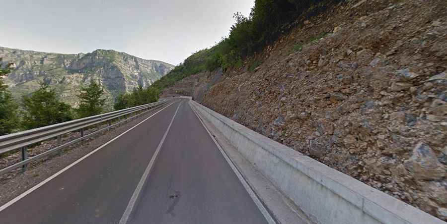
Driving the paved SH20 road in Albania
SH20 is a steep and narrow zig-zag road located in the former Kelmend municipality, in Shkodër County, in Albania.
Where is SH20 road in Albania?
The road is located in the northwestern part of the country, near the Montenegro border.
How long is SH20 road in Albania?
The road is 30km (18.6 miles) long, running south-north from Hani i Hotit to Tamarë.
Is SH20 road in Albania open?
The road tops out by Leqet e Hotit mountain pass, at 684m (2,244ft) above the sea level. When it snows heavily, it may get closed.
Is SH20 road in Albania paved?
The road was totally paved in 2016. It is in really good shape and fully accessible for all types of motorcycles and cars. Beyond Tamare, to Bashkimi and the Montenegrin border, the road was also paved in 2018. Before the border is about 500 m of gravel.
Is SH20 road in Albania worth it?
It's actually one of the best roads to ride in Albania, as nobody knows it's been redone, so there is very little traffic. The drive is pretty steep (7% average gradient) with countless hairpin turns. The road is almost empty, full of twisties, and amazing views. Running through immense rocky mountains, along the Cem Selcit river, the road is frequented by many cyclists and motorcyclists. Along the way, there are several bunkers and abandoned military houses.
Road suggested by: Bruce Smith