Driving the challenging Imperial Road in Dominica
Imperial Road is a very scenic drive located in St. Paul Parish, in Dominica.
When was Imperial Road in Dominica built?
Construction of the road started in the early 1900s and was recently improved. As a result of the upgrade, the width of the road was increased to a minimum of 6.5m, and the surface was enhanced with the application of an asphalt concrete wearing course to improve the overall safety of the road, especially for night driving.
How challenging is Imperial Road in Dominica?
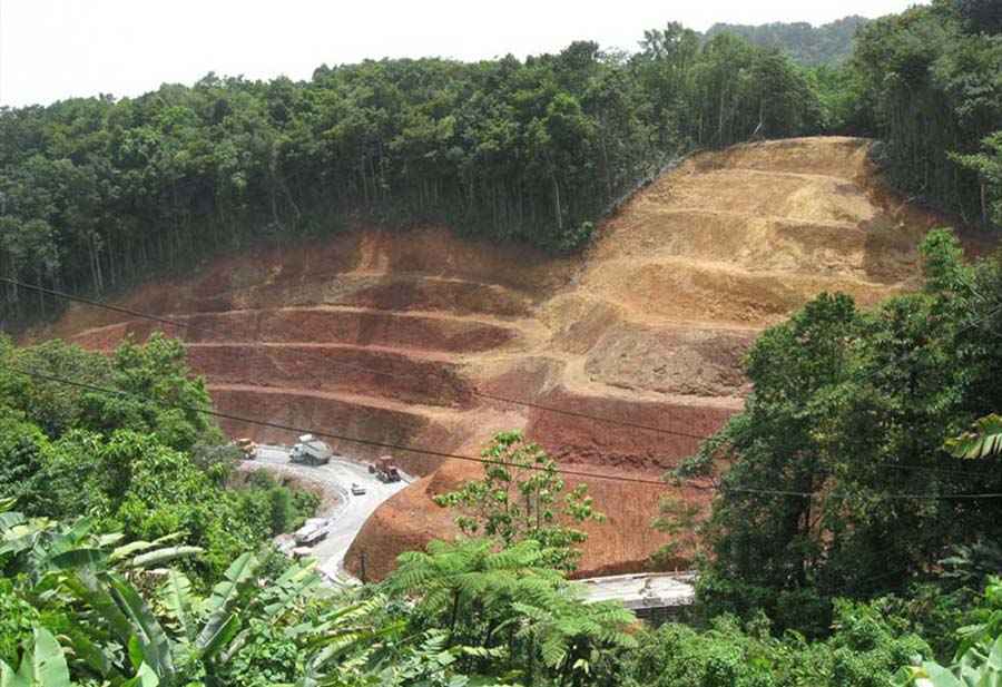
The crooked and winding road runs from the coast to the interior of the island and today is totally paved. It includes countless turns and dozens of hairpin bends. While it’s not an easy drive, it offers great viewpoints. The road traverses a geologically difficult area with several mountains, requiring the inclusion of very sharp bends and steep grades.
How long is Imperial Road in Dominica?
The road is 12.3 km (7.64 miles) long and runs south-north from Canefield (a town located on the west coast of Dominica, north of Roseau, overlooking Pringle's Bay) to Pont Cassé (located in the middle of the island), where it connects with Dr Nicholas Liverpool Highway.
Pic: https://publicworks.gov.dm/projects/6-pond-casse-to-melville-road