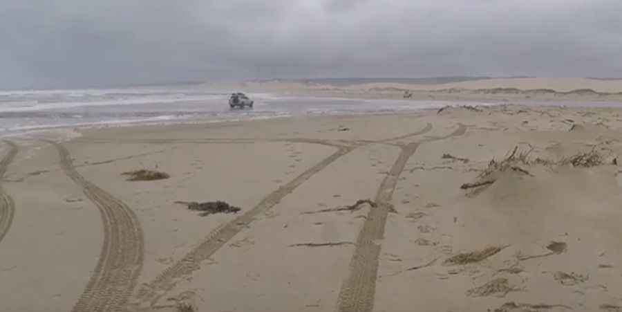
Driving the Challenging 4WD Sandy Cape Track in Tasmania
Located in the northern part of Tasmania's West Coast, in Australia, the Sandy Cape Track is one of Tasmania's most iconic 4WD destinations, featuring water hazards, rocky ridges, boggy sand, and mud sections.

Where is the Sandy Cape Track?
The track is located just south of Temma, within the Arthur Pieman Conservation Area. It is a highlight for 4WD enthusiasts, offering challenging terrain, beautiful scenery, wild beaches, and remote campsites.
How long is the Sandy Cape Track?
The road is 63.46 km (39 miles) in length and is suitable only for high-clearance, heavily modified 4WDs and experienced drivers. You’ll need an Off-Road Permit from the Parks & Wildlife office at Arthur River before starting.
How to get ready to drive the Sandy Cape Track?
Never drive this trail alone. Bring at least three capable vehicles on any trip, and expect to use your recovery gear and snorkel. It’s an extreme drive, with muddy waterholes, steep boggy sand dunes, river crossings, and undetermined quicksand. Deep water hazards, treacherous sections of boggy mud and sand, as well as steep rocky ridges, make this one seriously challenging track.
When to drive the Sandy Cape Track?
The weather in this region can be unpredictable, and road conditions are always changing. Check local weather conditions before attempting to drive the track. Due to hazardous conditions, the track can be temporarily closed without warning. The track is typically open from December to April. Other months are usually impassable due to high river crossings and slippery conditions. It shouldn't be attempted after rain due to the red clay that makes up most of its length. Even after moderate rainfall, the track can become treacherous or impassable, and vehicles can easily become bogged or stranded.
Pic&video: Blakey010