Driving the Unsealed and Challenging Road to Mount Cheeseman
Mount Cheeseman is a mountain peak at an elevation of 1,550m (5,085ft) above sea level, located on New Zealand's South Island. It’s one of the highest roads in the country.

Where is Mount Cheeseman?
Set high in the Southern Alps, the peak is located about an hour and a half (111 km) from Christchurch, in the Canterbury region. It hosts the Mt Cheeseman Ski Area, a ski resort. A chairlift service road (-43.153643, 171.659028) for the resort, at the northern part of the parking lot, climbs up to 1,862m (6,108ft) above sea level. The road is entirely unpaved and very steep, accessible only to 4x4 vehicles.
Is the Road to Mount Cheeseman Ski Resort Unpaved?
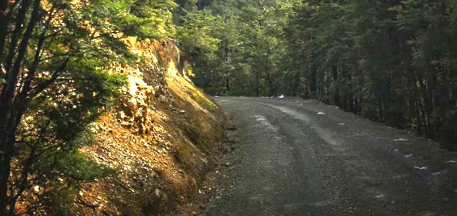
Yes, the road to the summit is completely unpaved. It’s called Mount Cheeseman Access Road. Chains must be carried, and a 4WD vehicle is highly recommended. Don’t even consider taking a camper van up there. The road features narrow sections, steep gradients, and challenging drop-offs. It is maintained and generally kept in good condition, but being in an alpine environment, the weather can change quickly. Road conditions can vary throughout the day, from good to bad or vice versa. Like many other New Zealand ski fields, the access road is rugged (Mt Cheeseman staff refer to it as "scenic!").
How Long is the Road to Mount Cheeseman Ski Resort?
The access road to the resort is about 12 km (7.45 miles) long. It begins off the Great Alpine Highway, officially known as State Highway 73 ('SH 73'), approximately 2 km past Castle Hill village. The entrance gate is on the left just before the Broken River Bridge. The road starts by winding through beech forest and then continues into alpine terrain. There is an unload point near the Base T-Bar, and the car park is 200m back down the road. Please respect any road closures or locked gates, as there is always a valid reason for them being shut.
Pic: The Family Scapegoat