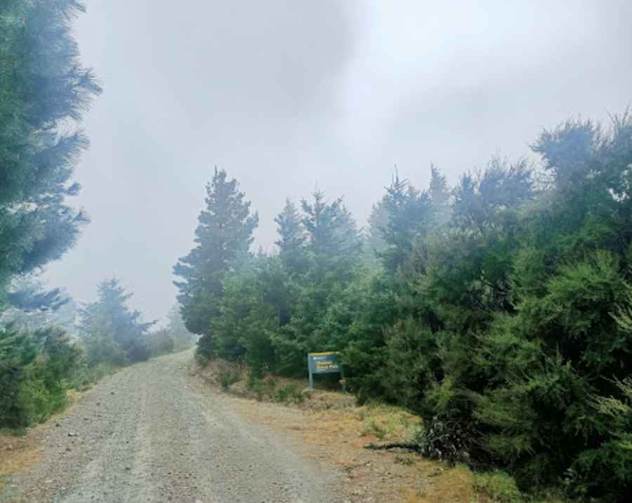
Driving the unpaved road to Jollies Pass in Hanmer Springs
Jollies Pass is a mountain pass at an elevation of 845m (2,772ft) above sea level, located in the Canterbury region of New Zealand’s South Island. The rough road to the summit has very steep conditions.

When was Jollies Pass used for the first time?
In 1852, Edward Lee and Edward Jollie traversed Jollies Pass with 1,800 sheep, establishing an inland route that allowed Canterbury runs to be stocked with sheep from the Wairau.
Is the road to Jollies Pass unpaved?
The backcountry road to the summit is unsealed shortly after leaving Hanmer Springs. It’s called Jollies Pass Road.
How long is the road to Jollies Pass?
The road through the pass is 11.2 km (6.95 miles) long, running south-north from Hanmer Springs (a resort town) to Molesworth Road.
What to expect on the Jollies Pass Road?
The unmaintained drive features a few bumpy sections. As road conditions can be unpredictable, high ground clearance 4WD vehicles are required. Expect very steep sections—hitting a 26% maximum gradient through some of the ramps—on the way to the summit. It has very limited traffic.
Is the road to Jollies Pass open in winter?
The area is subject to sudden, extreme weather changes. Snow falls in winter and often closes the road. In summer, the conditions are often very hot.
Is the road to Jollies Pass worth the drive?
Located within the Hanmer Forest Park, the drive offers stunning vistas and plenty of stopping places.
Pic: Golf Course NZ Explorer