Driving through the Tjukaruru Road in the Northern Territory
Tjukaruru Road is a challenging drive located in the Northern Territory of Australia. The unpaved road services many remote communities and tourism activities.
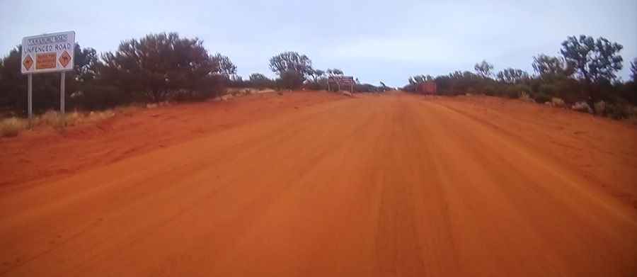
Is the Tjukaruru Road unpaved?
The road is mostly unpaved, with gravel and sand. There are a few paved parts at the start. Expect some road closures due to heavy rains (river crossings). Road conditions are always changing. It can be a reasonably easy drive in favorable dry conditions, but it also has the potential to become a very difficult, muddy, and slippery track—and at times impassable—after wet weather.
How long is the Tjukaruru Road?
The Tjukaruru Road is part of the Outback Highway, which is a national east-west link connecting Laverton in Western Australia to Winton in Queensland. It’s 189 km (117 miles) long.
Where does the Tjukaruru Road start and end?
The road runs east-west from Yulara to Kaltukatjara, also known as Docker River, a remote Indigenous community near the Western Australia border, on the Great Central Road.
Do I need a 4x4 to drive the Tjukaruru Road?
This key regional road is not a 4WD road, but there are parts that require good ground clearance. One day the road can be smooth and easy to drive, and the next, it can be full of washboards. Though still recommended only for four-wheel-drive vehicles, the road is now graded to a standard suitable for two-wheel-drive vehicles and caravans.
How remote is the Tjukaruru Road?
The trail is quite remote, so preparation is essential. In the event of a breakdown, you may encounter very little passing traffic or nearby inhabitants, and some areas lack cell phone service. It’s advisable to carry communications equipment while driving on this road.