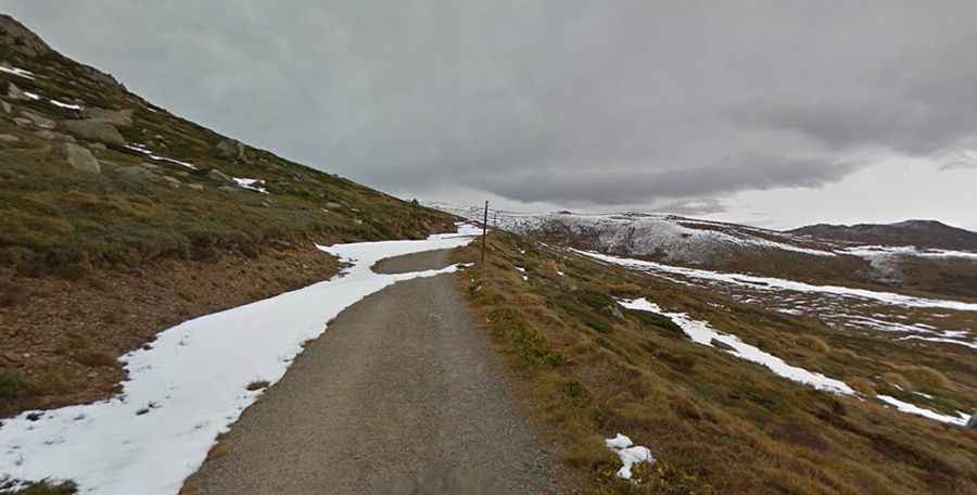
Travel guide to the top of Rawson Pass
Rawson Pass is a high mountain pass at an elevation of 2.124m (6,968ft) above sea level, located in New South Wales, in Australia. It's one of the highest roads in the country.

How long is the road to Rawson Pass?
Set high in the Snowy Mountains, the trail to the summit starts at Charlotte Pass. It’s totally unpaved and has a length of 8-kilometre (5 miles). It’s called Summit Road. The path has a gravel and rocky surface.
Can I drive to Rawson Pass?
Until 1977 it was possible to drive through Rawson Pass to within a few metres of the Mount Kosciuszko’s summit. The walking track to Mount Kosciuszko from Charlotte Pass is in fact that road, which was closed to public motor vehicle access due to environmental concerns. This track is also used by cyclists as far as Rawson Pass, where they must leave their bicycles at a bike-rack and continue onto the summit track on foot.
Where are the highest public toilets of Australia?
Tucked away in Kosciuszko National Park, the ride is definitely worth it. Don’t forget your camera! It passes the well-known Snowy River and Seamans Hut. Rawson Pass is at the foot of Australia's highest mountain, and there are great views along the main range. Rawson Pass is also home to the highest public toilets in Australia. It crosses the Snowy River at 4.5 km and then ascends gradually to Seaman's Hut (6 km), Rawson's Pass (8 km) and finally, the summit of Mount Kosciuszko.