Tamborine Mountain Road is The Goat Track
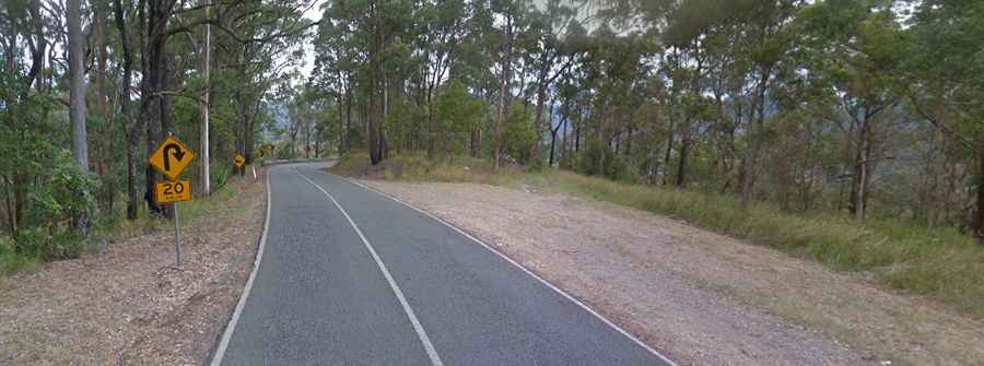
Tamborine Mountain Road is a very scenic drive located in North Tamborine, Queensland, Australia. This paved road is very steep, with an average gradient of 8% and a maximum gradient of 16% for 1.5km.
When was Tamborine Mountain Road built?
It was built in the early 1920s. The gravel road was completed in 1924, and in 1925, it became one of the first bitumen roads in the state. It operated as a toll road until 1945. The upper section of Tamborine Mountain Road was renamed Geissmann Drive in 1982.
How long is Tamborine Mountain Road?
The road is totally paved. It’s also known as the "The Goat Track" by locals. It’s 23.9 km (14.85 miles) long, running south-north from Beaudesert Nerang Road, near Witheren, to Beaudesert Beenleigh Road. Part of the route is designated as State Route 95.
Is Tamborine Mountain Road open?
Running through the Tamborine Mountain rainforest, the road is currently closed overnight from 12:00 AM (Midnight) to 5:00 AM. It has a high risk of landslides. Before traveling, it is always a good idea to first check to ensure that the road is clear and safe to do so.
How long does it take to drive Tamborine Mountain Road?
To drive the road without stopping will take most people between 50 and 60 minutes. The views are incredible, and the road is a joy to conquer.
Is it hard to drive up Mount Tamborine?
The road tops out at 561m (1,840ft) above sea level and hits a 16% maximum gradient through some of the ramps. While this is a tough climb, it is well worth it. Road users are reminded to drive and ride to the conditions and take note of all advisory and warning road signage. Use low gears. The drive includes some narrow sections.