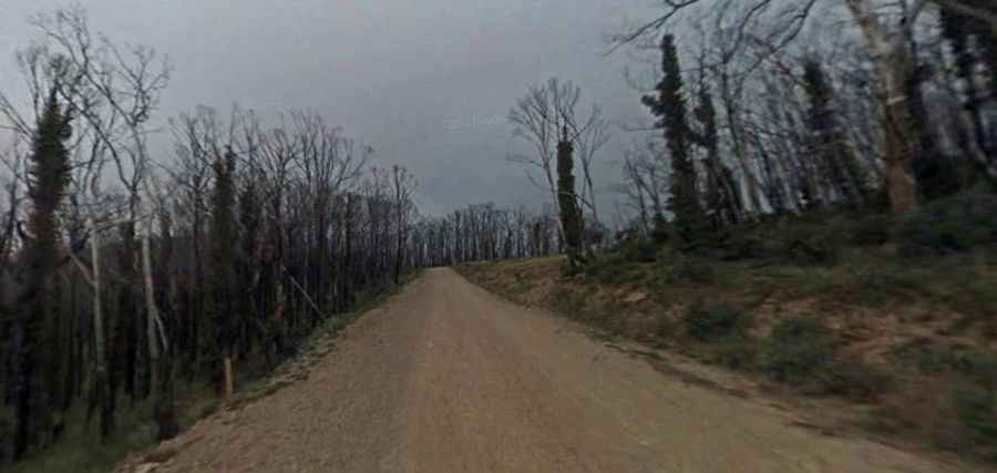
The journey is the destination along the Dargo High Plains Road
Dargo High Plains Road is a legendary road located in Victoria, in southeast Australia. It is closed by snow in winter and unsuitable for caravans (due to steep twisty sections).

Is Dargo High Plains Road sealed?
The road is mostly gravel, with some paved parts. Although suitable for 2WD cars, it can be rough and dusty in sections and slippery after rain. It is sealed for about 25km from the southern end, then there is about 45km of gravel/cobble, and then bitumen for the last kilometer, leading to the Great Alpine Road.
How long is Dargo High Plains Road?
Part of Road C601, the road links the Great Alpine Road and Dargo, a small town located 348 kilometres (216 mi) east of Melbourne, within the Alpine National Park. It’s 70km (43.49mi) long.
Is Dargo High Plains Road closed?
The road tops out at 1.628m (5,341ft) above sea level. At this elevation, it is subject to seasonal road closure (notionally early June to late October). The road is officially closed to caravans at all times of the year. Avoid any super-hot days, and/or sustained wet conditions. After rain, sections of the road can become decidedly hazardous.
How long does it take to drive Dargo High Plains Road?
Allow about three hours to complete the drive. The ideal time to travel is during daylight hours. Night driving is not advised. It runs 70km north through remote alpine country with some fine views and spring flowers.
Is Dargo High Plains Road dangerous?
This is a maintained road where a high-clearance 2WD vehicle is able to travel safely at low speeds on long dry straightaways, without losing control due to washboarding, ruts, or dips. The road is like any 2WD dirt road. Just be aware that cattle graze widely along the road (even on the bitumen part, there's water in places around in the bends and cattle do drink there), so for the sake of safety, keep your speed down. The road can suffer logging truck damage. It has some steep climbs which are slippery in the wet.