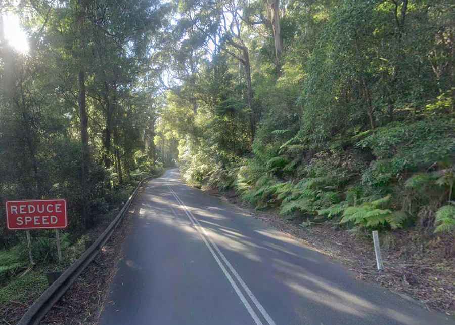
Jamberoo Mountain Road: A Revitalized Adventure in New South Wales
Nestled in the picturesque landscapes of New South Wales, Australia, Jamberoo Mountain Road unveils a scenic adventure, showcasing breathtaking views and a recent reconstruction, promising a refreshed journey.

How long is Jamberoo Mountain Road?
The road is 23.1 km (14.35 miles) long, running west-east from the Illawarra Highway (to the east of Robertson) to the intersection of Jamberoo Road and Churchill Street (to the north of Jamberoo).
Is Jamberoo Mountain Road paved?
The road is entirely paved in very good conditions. It’s a wonderful drive if you ride a motorcycle because of the winding sections.
How challenging is the Jamberoo Mountain Road paved?
The road is a great alternative to Macquarie Pass. It has winding sections with steep portions. It’s extremely steep in parts, running from 24m to 743m above sea level, and hitting a 33.6% maximum gradient through some of the ramps. Winding its way up to the escarpment ridge, if traveled with care and common sense, it doesn’t pose any hazardous issues.
Is Jamberoo Mountain Road open?
The road was closed for 12 months in 2023 after undergoing massive reconstruction. It was badly damaged at four different sites by floodwater and landslips above and below the road.