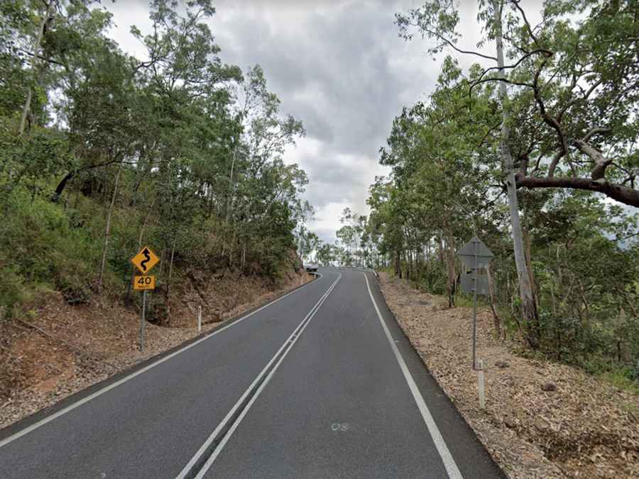
Driving the curvy Gillies Range Road in Queensland
Gillies Range Road is the name of a very curvy road located on the boundary of the Cairns and the Tablelands regions of Queensland, in Australia.

How long is Gillies Range Road?
The road, State Route 52, is totally paved. It’s 55.7 km (34.61 miles) long, running east-west from Gordonvale (in the Cairns Region) to Atherton (in the Tablelands Region).
When was the Gillies Range Road built?
Tucked away deep into the Australian tropics, the road is also known as Gillies Highway and Cairns Range Road. Construction of the road started in March 1925 and it was officially opened on Saturday 10 July 1926. Today the road is busy and can see up to 8,106 vehicles per day (2018 Annual Average Daily Traffic).
How many corners on the Gillies Range?
Running through the Gillies Range, the road is extremely curvy, with hundreds of turns. The most popular section of the road is 19km long, with 263 corners and 800m elevation change. The road is not easy, because you have rock walls on one side and very steep drops on the other. It’s steep in parts, and tops out at 829m (2,719ft) above the sea level. The drive offers sweeping views of the mountains and forests.