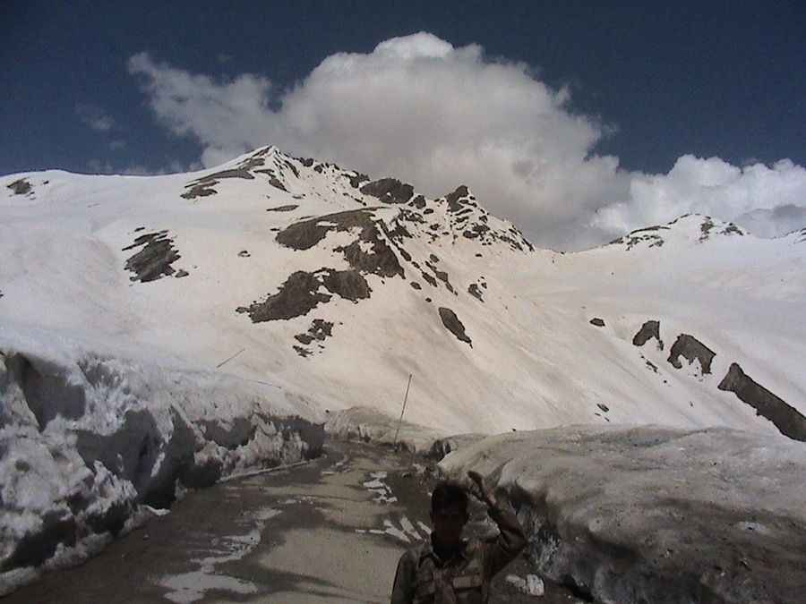
Driving the hairpinned road to Burzil Pass in Pakistan
Burzil Pass is a high mountain pass at an elevation of 4.210m (13,812ft) above sea level, located in the Gilgit-Baltistan territory of Pakistan.

Where is Burzil Pass?
Set high in the Himalaya Range, near Gilgit, the pass is located approximately 30 km north of the Line of Control between India and Pakistan.
Can you drive through Burzil Pass?
The road to the summit is metalled. It’s called Astore Valley Road. Part of the historic caravan route between the cities of Srinagar and Gilgit, the road is pretty defiant. It has steep sections, hitting an 11% maximum gradient through some of the ramps.
How long is the road to Burzil Pass?
Starting at the exciting Karakoram Highway, the road to the summit is 115km (71 miles) long.
Is the road to Burzil Pass open?
Due to heavy snow at the pass, the road is accessible only from July to September. Tucked away in the northern part of the country, the pass provides excellent views of grassy slopes filled with flowers.
Pic: Shoukat Ali Mahar