Don’t glance down at your phone on the Astore Valley Road
Astore Valley Road is a very challenging drive located in the Gilgit-Baltistan territory of Pakistan.
Where is the Astore Valley Road?
The road is located in the Himalaya Range, near Gilgit, in the northern part of the country. It is part of the historic caravan route between the cities of Srinagar and Gilgit.
How long is the Astore Valley Road?
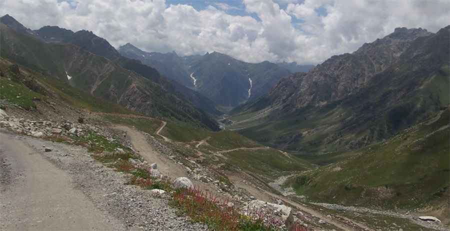
The road is metalled running alongside the Astore River. It’s 115km (71 miles) long, running from the exciting Karakoram Highway to Astore, a town renowned for its versatile natural beauty and access to a number of the world’s unique mountain attractions. This beautiful mountain town is located at an altitude of 2,600m above sea level.
Is the Astore Valley Road open?
The road tops out at Burzil Pass, a high mountain pass at an elevation of 4,210m (13,812ft) above sea level. Due to heavy snowfalls, the road is accessible only from July to September.
How challenging is the Astore Valley Road?
The first 25km is very dangerous because of landslides, especially on rainy days. It has steep sections, hitting an 11% maximum gradient through some of the ramps and features dangerous drops. Landslides and rockfall may be issues in some areas of the Indus Valley.
Pic: Hammad Mustafa