What are the most spectacular roads in Pakistan?
Home to the K2, the second highest peak in the world, Pakistan is a very mountainous country, located in the southern part of Asia. It comprises the Himalayas, the Karakorams, and the Hindu Kush mountain ranges, so the country is a paradise for 4x4 mountain lovers. The country covers an area of 881,913 km2 and it’s bordered by India, Afghanistan, Iran and China.
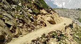
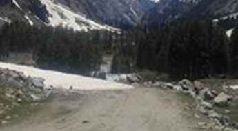
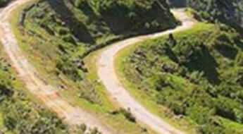
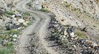
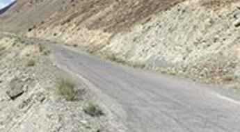
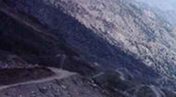
However, due the situation of the country, travelling there is not advised. If you travel to Pakistan, you should remain cautious and vigilant, including in major cities. There is a high threat of terrorism. The security situation is fragile and unpredictable. Several terrorist groups are present and operate across the country. If you take the risk, the country is home to countless mountain roads as well as it has a coastline along the Arabian Sea, providing beautiful coastal drives. You can’t miss the Treacherous Fairy Meadows Road. Located in the Gilgit-Baltistan region, the unpaved road is completely unmaintained, with no guardrails to protect you, and it gets so narrow that near the end, you’ll have to cover the last section by walking or biking. Khunjerab Pass is the Highest Border-Crossing in the World. It sits at an elevation of 4,706m (15,439ft) above sea level, on the border with China. Babusar Pass is a mountain pass at 4,179m (13,710ft) above sea level on the boundary between Khyber Pakhtunkhwa and Gilgit-Baltistan provinces. It’s one of the most hairpinned roads in the world. And if you’re brave enough, try the Khaltaro Valley Road. Imagine a narrow gravel road, very steep (up to 15%) with horrendous drops on both sides. Welcome to hell! Only the suicidal, the insane, or the paid-to-do-this should ever drive down.
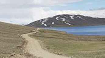
Rama Lake is recommended for drivers with strong nerves
Rama Lake is a high mountain lake at an elevation of 3.507m (11,505ft) above the sea level, located on the eastern slopes of the Nanga Parbat massif, in the Gilgit-Baltistan region of northern Pakistan.
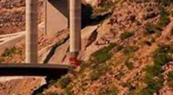
Raakhi Gaaj Project, the Asia’s Second Largest Steel Bridge
Located in the Punjab province of Pakistan, Raakhi Gaaj Project is said to be the Asia’s Second Largest Steel Bridge. It’s one of the most spectacular bridges in the world.
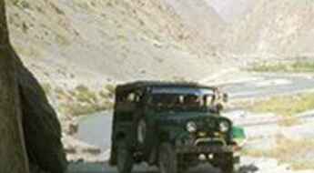
Haramosh Valley Road: don’t try the drive in rain or after the sunset.
Located in the Gilgit district, Northern Areas, in northern Pakistan, the Haramosh Valley Road is a narrow gravel road, pretty steep with dangerous dropoffs. Don’t try the drive in rain or after the sunset.
A hazardous road to Kohat Pass
Kohat Pass is a mountain pass at an elevation of 855m (2,805ft) above the sea level, located in the Khigana Mountains, in Pakistan.
A very bumpy, grueling road to Mahodand Lake
Mahodand is a high mountain lake at an elevation of 2.865m (9,400ft) above the sea level, located in the Khyber Pakhtunkhwa province of Pakistan.
Haji Pir Pass, a Road Through History
Haji Pir Pass is a high mountain pass at an elevation of 2.640m (8,661ft) above the sea level, located in Azad Kashmir, Pakistan, near the Indian border.
Crossing the Sher Qila bridge is not a piece of cake
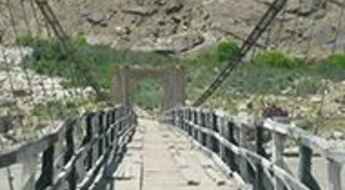
Located in Ghizer valley, in Gilgit-Baltistan, northern Pakistan, the Sherqila Suspension Bridge is one of the most spectacular bridges in the world.
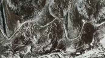
The Braldu Valley Road is said to be the scary of scaries
Braldu Valley Road is a very steep zig-zag trail located in the Skardu District of Gilgit Baltistan in northeastern Pakistan.
Mintaka Pass
Mintaka Pass is an international high mountain pass at an elevation of 4.450m (14,599ft) above the sea level, located between Gilgit-Baltistan in Pakistan and Xinjiang in China. It's one of the highest roads of the country.
Lasdana, a scary road in the mountains of Pakistan
Lasdana is a touristic hilltop at an elevation of 2.596m (8,517ft) above the sea level, located in the north-eastern area of Tehsil Rawalakot in the Poonch District of Azad Kashmir, in Pakistan.
Toli Peer, a road to the end of the world
Toli peer is a hilltop at an elevation of 2.566m (8,418ft) above the sea level, located in the north-eastern area of Tehsil Rawalakot in the Poonch District of Azad Kashmir, in Pakistan.
A wild paved road to Karakar Pass
Karakar Pass is a high mountain pass at an elevation of 1.336m (4,384ft) above the sea level, located in Khyber Pakhtunkhwa province, Pakistan.
The insane road to Hispar Glacier
Hispar Glacier is a high mountain glacier at an elevation of 3.124m (10,249ft) above the sea level, located in the Gilgit-Baltistan region of Pakistan.
The road to Satpara Lake isn’t an easy one
Satpara lake is a natural lake at an elevation of 2.721m (8,927ft) above the sea level, located in Gilgit-Baltistan region of Pakistan.
The curvy paved road to Khojak Pass
Khojak Pass is a high mountain pass at an elevation of 2.201m (7,221ft) above the sea level, located in Qilla Abdullah District of Balochistan province, Pakistan.
Crossing the exciting Barenis Bridge
Located in Khyber Pakhtunkhwa, Pakistan, the Barenis Bridge is one of the most spectacular bridges in the world.
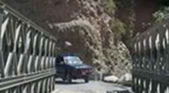
Crossing the Braldu Valley Road bridges isn't for the sissies
Located in the Skardu District of Gilgit Baltistan in northeastern Pakistan, the Braldu Valley Road runs through the Braldu Gorge to Askole and Korphe, two small villages on the way to K2, the second-highest mountain on Earth.
Ganga Peak: A Dangerous Road You May Want to Explore
Ganga Choti is a high mountain peak at an elevation of 2.785m (9,137ft) above the sea level, located in Bagh District, Azad Kashmir, in Pakistan. The road to the top is pretty steep.
What are the highest roads in Pakistan?
Located in Southern Asia, bordering the Arabian Sea, the Islamic Republic of Pakistan is slightly less than twice the size of California but the world's fifth-most populous country.
Dhana Sar Kacha
Located in in the province of Balochistan in Pakistan, the Dhana Sar gorges, also called Pakka Dhana, is an awe inspiring river canyon, pretty long and deep. It was formed by the Karher River.
Kilik Pass
Kilik Pass is an international high mountain pass at an elevation of 4.745m (15,567ft) above the sea level, located between Gilgit-Baltistan in Pakistan and Xinjiang in China. It's one of the highest roads of the country.
Sakhi Sarwar-Rakhni is an awe-inspiring road in Pakistan
The Sakhi Sarwar-Rakhni road, part of the National Highway 70 (N-70), is one of the most beautiful highways in Pakistan. There’s a high threat of terrorism, kidnap and sectarian violence throughout the country.
The ultimate road trip to the legendary Dorah Pass
Dorah Pass is an international high mountain pass at an elevation of 4,538m (14,888ft) above sea level, located on the border of Afghanistan and Pakistan.
The road to Baboon Top isn’t an easy one
Baboon Top is a high mountain pass at an elevation of 3.695m (12,122ft) above the sea level, located in Azad Jammu and Kashmir, in Pakistan.
Peiwar Pass
Peiwar Pass is an international high mountain pass at an elevation of 2.615m (8,579ft) above the sea level, located between Afghanistan and Pakistan.
Shawall Road
Shawall Road is a high mountain road located in North Waziristan, a mountainous region of northwest Pakistan.
Chumar Bakor Road
Chumar Bakor is a high mountain town at an elevation of 4.418m (14,494ft) located in the Hunza Valley, in Gilgit-Baltistan, in the state of Jammu and Kashmir, Pakistan. It's one of the highest roads of the country.
Turikho Valley Road
Located in the Turikho valley, in the Hindu Kush range of Pakistan, the Turikho Valley Road is a spectacular and dangerous high mountain road. Stay away if you're scared of heights. This road tests the skill, and courage, of any driver. It’s definitely not for anyone suffering from vertigo or a fear of landslides.
The Wild Road to Sheosar Lake in Pakistan
Sheosar Lake is an alpine lake at an elevation of 4.158m (13,641ft) above the sea level, located in the Skardu Gilgit-Baltistan province of Pakistan. It’s one of the highest lakes in the world.
Chorbat La
Chorbat La is an international high mountain peak at an elevation of 5.141m (16,866ft) above the sea level, on the border of India and Pakistan. It's one of the highest roads of the country.
Here's How To Have The Ultimate Road Trip To Chhachor Pass
Chhachor Pass is a high mountain pass at an elevation of 4.209m (13,809ft) above the sea level, located in Skardu Gilgit-Baltistan province, in northern Pakistan. The pass is traversed by the Deosai Park Road.
Crossing the infamous Tattu Bridge
Located in the Gilgit-Baltistan region of Pakistan, the Tattu Bridge (Tattoo bridge) is one of the most spectacular bridges in the world. Due its dangerousness it’s no longer in use.
Driving the wild road to Batogah Top
Batogah Top is a high mountain pass at an elevation of 4.308m (14,133ft) above the sea level, located in the Gilgit-Baltistan region of Pakistan.
Marpo La
Marpo La is a high mountain peak at an elevation of 4.816m (15,800ft) above the sea level, located on the Indian-Pakistani Line of Control. It's one of the highest roads of the country.
A road trip to Bari La is truly epic
Bari La is a high mountain pass at an elevation of 4.721m (15,488ft) above the sea level located in the Northern Gilgit-Baltistan region of Pakistan-administered Kashmir. It's one of the highest roads of the country.
Bamboret Valley Road
Bamboret Valley Road is a rocky access trail across the mountains located in the Chitral District of Khayber Pakhtun khuwah, in northern Pakistan.
