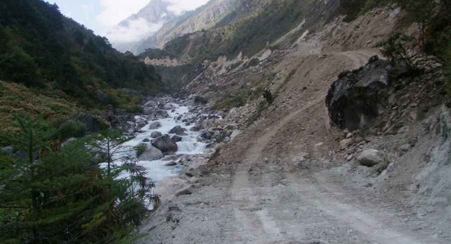
The wild road to Tipta La
Tipta La is an international high mountain pass at an elevation of 5.118m (16,791ft) above the sea level, located on the border of China and Nepal. It’s an important trade route.

The dirt track to the summit is totally unpaved. Weather conditions can change quickly and be harsh. 4wd vehicle required. Do not take this drive if you have respiratory problems or any type of heart condition. Altitude and extreme weather are always a factor at any time of year. On the Chinese side, the climb is via 40 hairpin turns.
The pass links the prefecture-level city of Xigazê in the Tibet Autonomous Region of China and the Taplejung District in the Mechi Zone of north-eastern Nepal. The pass is marked by prayerflags. The views into Tibet and Nepal are great. In 2017, the dirt track from Olangchungola, the nearest market from the border point, to Tiptala Bhanjyang was upgraded into a road stretch with the workforce and equipment provided by the Chinese government. Located in the Himalaya mountain range, the road is impassable in winters.
Road suggested by: Hugh Wilson
Pic: https://kathmandupost.com/province-no-1/2019/10/23/china-to-upgrade-dirt-track-that-connects-tiptala-bhanjyang-and-olangchungola