An Explorer's Guide to Thorong La Pass
Thorong La is a high mountain pass at an elevation of 4,514m (14,809ft) above sea level, located in Mustang District in the Dhaulagiri Zone of Nepal.
Where is Thorong La?
Set high in the central part of the country, Nepal's most famous pass is crossed by hundreds of trekkers daily at the height of the season, but it was the scene of tragedy in October 2014 when blizzards hit the upper stages of the Annapurna Circuit trek, near the pass, killing dozens of trekkers, porters, and guides.
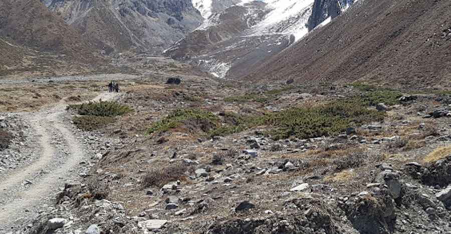
Is the road to Thorong La unpaved?
The road to the summit, also known as Thorung La, is called Muktinath Highway. It’s a very extreme 4WD track. A rich Korean trekker donated a high sum to build this road after he had a serious problem at the pass. He believed the new road would make faster rescues possible.
How long is the road to Thorong La?
Starting from Jharkot, the road to the summit is 10.1 km (6.27 miles) long. Near the summit, there are a few hotels. Beyond this point, the road might be impassable for vehicles.
When is the best time to drive to Thorong La?
Set high in the Annapurna Mountain range, the safest months to cross the pass are March–April and October–November. Attempting to cross the pass at other times of the year is dangerous due to the increased risk of avalanches, frostbite, and the likelihood of a storm or a whiteout. Symptoms of altitude sickness may appear, so acclimatisation is crucial.
Pic: German Guntern