How to Get by Car to Jumla Airport in Nepal?
Jumla Airport is a high-mountain airport at an elevation of 2,347m (7,700ft) above sea level, located in the Jumla District in Province No. 6 of Nepal.

How’s the Jumla Airport?
Jumla Airport is a domestic airport accessible for scheduled flights, primarily serving destinations within Nepal, such as Nepalgunj, and connects the region with the rest of the country. It has one asphalt-paved runway designated 09/27, which measures 670 by 25 meters (2,198 ft × 82 ft), and it is not lighted. It is not equipped with advanced customs or handling services and is not open 24 hours a day. The airport has also experienced a few aviation accidents in the past, including a crash in 1999 that led to multiple fatalities. This airport is close to Jumla Bazaar and has played a significant role in the enhancement of trade and travel throughout the neighboring region.
Is the Road to Jumla Airport Paved?
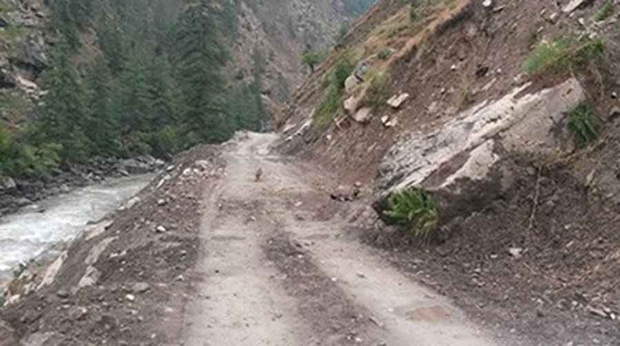
The road to the airport is known as Karnali Highway, also known as H13. It’s a mostly paved road, with some gravel sections running through a high mountainous area along the Karnali River. The road was completed in 2007.
How Challenging is the Road to Jumla Airport?
The road is narrow, but it is still a two-way road. The track comprises narrow stretches, landslides, rocks, flooded sections, potholes, significant drops, steep cliffs, and a substantial amount of dust, resulting in a bumpy ride.
How Long is the Road to Jumla Airport in Nepal?
Located to the northwest of Kathmandu, the road is 232 km (144 miles) long, running from Birendranagar to Jumla, where it ends.
Pic: Youb Raj Basnet