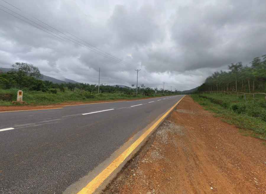
Hpa-An to Dawei is a road through Myanmar's southern corridor
The road from Hpa-An to Dawei in Myanmar is more than just a stretch of tarmac; it's a connector between the heartlands of Kayin State and the port city in the Tanintharyi Region. Traveling this road offers a vivid tapestry of the rich geographical and cultural diversity of the country.

How long is the road from Hpa-An to Dawei?
Located on the southern part of the country, the road is 368km (229 miles) long. Starting in Hpa-An, the capital of Kayin State, travelers are introduced to a realm dominated by limestone mountains and mystical caves. As the journey progresses, the destination, Dawei, emerges as a contrasting landscape. This coastal city, capital of the Tanintharyi Region, offers a glimpse into Myanmar's maritime history with its historically significant port. With plans for the Dawei Special Economic Zone and the deep-sea port project in the pipeline, the importance of this road is only set to grow. Such initiatives could transform this corridor into a crucial trade and integration hub for the broader Mekong region.
What can travelers expect on the Hpa-An to Dawei road?
This journey is undeniably scenic. As one traverses the route, vast paddy fields stretch endlessly, occasionally broken up by looming mountains or traditional villages, providing glimpses into Myanmar's soul. Both Hpa-An and Dawei have unique attractions. In Hpa-An, visitors are drawn to iconic sites like the Saddan Cave and the majestic Mount Zwegabin. Dawei, on the other hand, offers pristine relaxation spots such as the Maungmagan Beach.
Discovering the conditions along the Hpa-An to Dawei road?
The road is very scenic, proving stunning views. It’s fully paved ensuring a smooth ride, but some parts can be treacherous when wet, especially during the monsoon season. So it’s essential to check for real-time road conditions before facing the drive.
Pic: Salai Hormmay