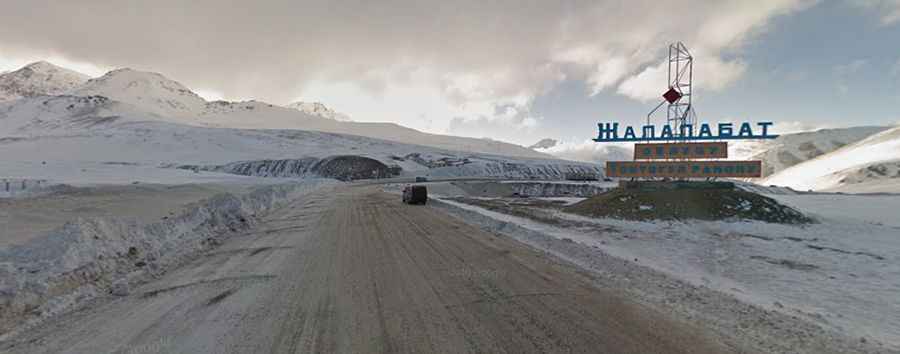
A white desert road to Pereval Ala-Bel
Pereval Ala-Bel is a high mountain pass at an elevation of 3,175m (10,416ft) above sea level, located in Kyrgyzstan.

Where is Ala-Bel Pass?
The pass is located on the boundary between the Talas and Chüy regions, in the northern part of the country. It serves as an important road link between Kyrgyzstan's two largest cities: Bishkek and Osh.
Is Ala-Bel Pass Paved?
The road through the pass is mostly paved and known as M41 or the Pamir Highway, part of the European route E010. The road across the pass isn’t overly steep, with gentle ascents and descents. The pass is surrounded by snow-covered mountains in winter, creating a landscape resembling a white desert. During the flowering season, the pass offers stunning views of alpine meadows.
How Long is Ala-Bel Pass?
Set high in the Talas Ala-Too mountain range, the pass spans 137 km (85.12 miles), running from Toktogul (the administrative seat of Toktogul District in Jalal-Abad Region) to Suusamyr (in the southern part of the Jayyl District of Chüy Region). The Chychkan River flows parallel to the road, adding to the scenic beauty.