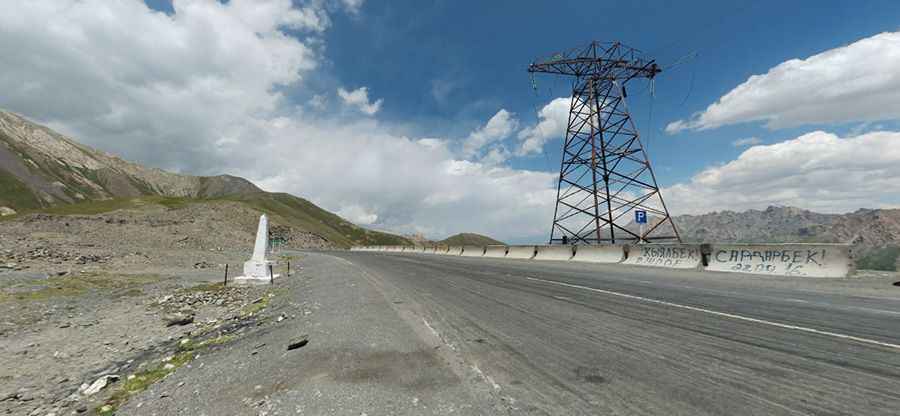
Driving the historic Pamir Highway to Taldyk Pass
Pereval Taldyk is a high mountain pass at an elevation of 3,615m (11,860ft) above sea level, located in the Osh Region of Kyrgyzstan.

When was the road through Taldyk Pass built?
The Taldyk Pass, initially established as a cart road in 1876, was used as a communication route to the Alay Valley for a military detachment led by Russian general Abramov. By 1883, Captain Putyata reported the road's inaccessibility due to rockfalls. It was later reconstructed in 1893 by Colonel Grombchevsky. A commemorative sign from the early 1900s acknowledged its distance from Gulcha. A paved road connecting Osh to Khorugh was built through the pass between 1930 and 1932, with a monument currently honoring its construction manager, Yuri M.Grushko. In 2008, the Export–Import Bank of China funded the rehabilitation of a segment of the road, which was completed in 2013.
Is the road to Taldyk Pass paved?
Located in the eastern part of the country, the road to the summit, also known as Taldok Pass, is the iconic M41 highway (Pamir Highway). It is paved. The pass is 24.9km (15.47 miles) long and runs north-south from Ak-Bosogo to Sary-Tash.
How challenging is Taldyk Pass?
The pass is pretty challenging, with steep sections and 14 hairpin turns. The last kilometers are very tough, reaching a gradient of almost 8%. It is one of the country's most dangerous mountain passes in winter. Every year, several trucks have accidents, falling several hundred meters down the cliff. In spring, you can still see some of them there.
Is Taldyk Pass open?
Set high in the Alai Mountain Range, the pass is unusual because it remains open year-round despite its high altitude.
Pic: Arek Pawłowski