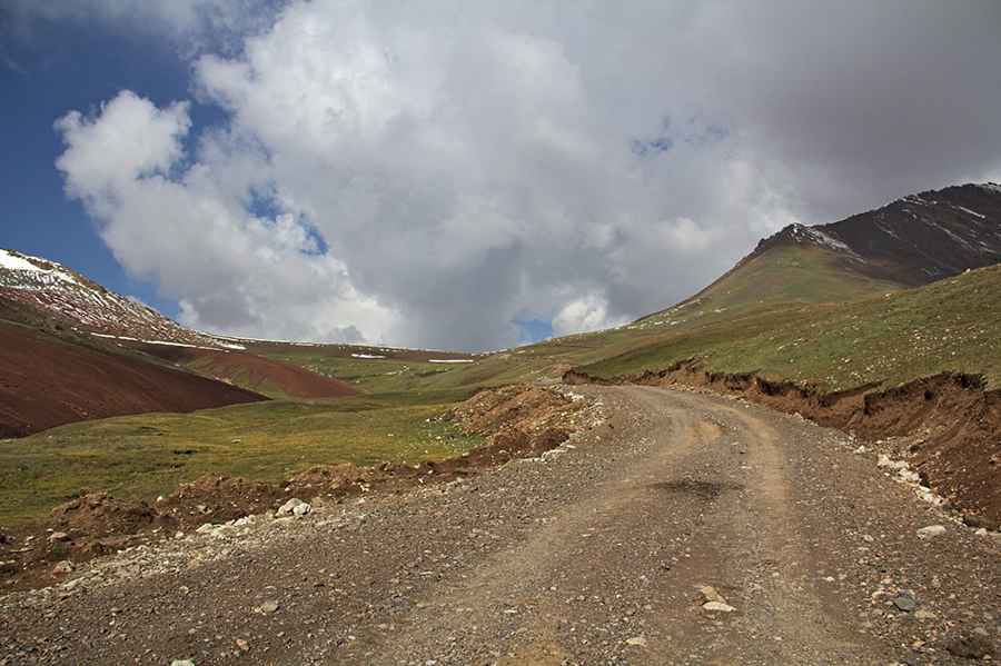
Driving the wild road to Kichik-Alay Pass
Pereval Kichik-Alay is a high mountain pass at an elevation of 4,140m (13,582ft) above sea level, located in the Osh Region of Kyrgyzstan. It’s one of the highest roads in the country.

Is the road to Kichik-Alay Pass unpaved?
Set high in the southwestern part of the country, the road to the summit is totally unpaved. It’s a mining road. A 4x4 vehicle is required. It comprises steep parts and is usually impassable in winter.
How long is the road to Kichik-Alay Pass?
Starting from Tura-Chita, in the eastern part of the summit, the road is 36.7 km (22.8 miles) long. Over this distance, the elevation gain is 1,784m and the average gradient is 4.86%. On the eastern part of the summit, the road ends in a coal mine. The road is heavily used by trucks.
Road suggested by: Hugh Wilson
Pic: Sergey Salnikov