Driving the wild 4x4 road to the top of Pereval Kyzyl-Kasa
Pereval Kyzyl-Kasa is a high mountain pass at an elevation of 3,443m (11,295ft) above sea level, located in the Nookat district of Kyrgyzstan.
Where is Pereval Kyzyl-Kasa?
The pass, known as Перевал Кызыл-Каса, is located in the Osh Region in the southwestern part of the country.
Is Pereval Kyzyl-Kasa difficult?
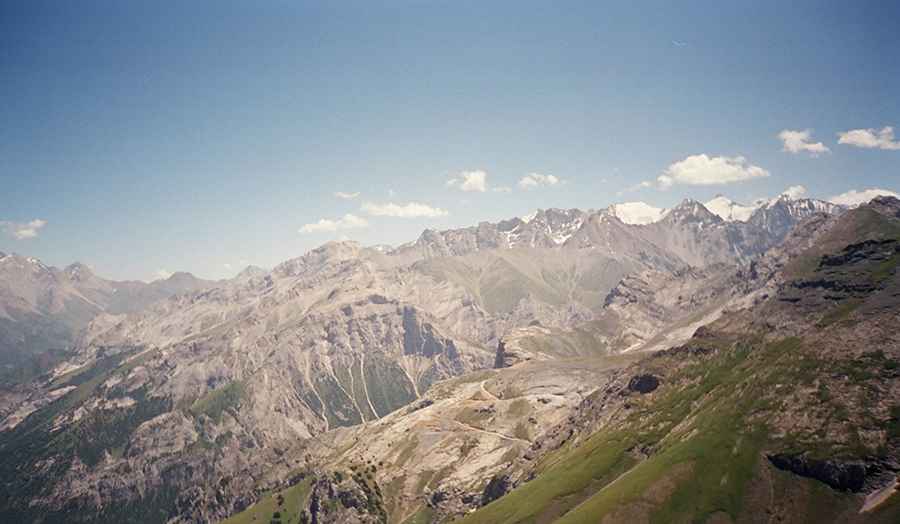
The road to the summit is entirely unpaved and suitable only for 4x4 vehicles. It is a very dangerous drive with narrow sections, steep inclines, and dangerous drop-offs. It is usually impassable in winter and poses a significant avalanche risk.
How long is the road to Pereval Kyzyl-Kasa?
Starting from Kalday, the road to the summit is 16.6 km (10.31 miles) long. Over this distance, the elevation gain is 1,296m, with an average gradient of 7.80%. The road ends south of the pass on a peak at 3,546m (11,633ft) above sea level.
Road suggested by: Hugh Wilson
Pic: Igor Goncharov