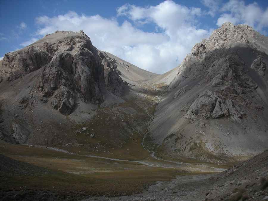
Conquering Peak Patamushta in Kyrgyzstan
Peak Patamushta is a high mountain peak at an elevation of 4,088m (13,412ft) above sea level, located in the At-Bashy district of the Naryn region in Kyrgyzstan.

How Long Is the Path to Peak Patamushta?
Set high in the Tian Shan mountain range, in the southern part of the country, near the Chinese border, the path to the summit is 26.8 km (16.65 miles) long, and the elevation gain is 1269 m.
Can I Drive to Peak Patamushta?
The path has two clearly different parts. Starting on the paved A365 road, the first 15km (9.32 miles), running along the valley of the Tash Rabat river, is a 4WD road. It ends at the Tash Rabat Caravanserai. Beyond this point, the path to the summit, near Panda Pass, is a mule track, impassable for vehicles. It's one of the highest roads in the country. The summit provides stunning views of Chatyr Kol lake.
Pic: Pierre Hurteaux