Driving the Unpaved Road A-364 Across the Tian Shan Mountains
Located in the Issyk-Kul Region, in the northeastern corner of Kyrgyzstan, Road A-364 is a very exciting journey in the heart of the Tian Shan Mountains.

Where does Road A-364 start and end?
It runs north-south from the village of Barskoon to Kara-Say and then east to Ak-Shyrak. There is a border police post located at Kara-Say, and a border area permit is needed for onward travel. The through road beyond Ak-Shyrak is currently impassable.
How long is Road A-364?
The road was part of the Silk Road, the trade route between China and Central Asia. It is 85.6 km (53.18 miles) long. There is a reasonable amount of traffic. In the spring of 2000, a lorry carrying cyanide used in the gold refining process was involved in an accident, leaving the road and crashing into a stream, polluting the waters and decimating the tourist industry around Lake Issyk-Kul as many CIS travelers canceled their planned holidays. It is now more widely used as the main road to the Kumtor Gold Mine.
Is Road A-364 unpaved?
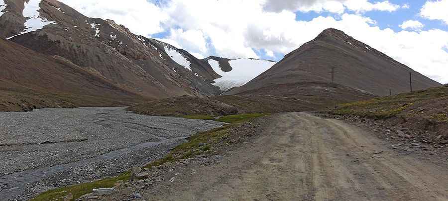
The road is completely unpaved. There are some heavy transports on the road daily for the fleet of machines. It is a rough, wild, barren, rocky road. The road can be driven without major problems in any vehicle.
Is Road A-364 open in winter?
Running high across the Terskey Alatau mountain range of the country, A-364 is a high mountain road topping out at 4,024 m (13,202 ft) above sea level. The road climbs up several mountain passes, including Pereval Suyek (4.024m-13,202ft), Pereval Barskaun (3.760m-12,335ft) and Pereval Sarymoynak (3.133m-10,278ft). Depending on snow conditions, short-term winter closures are possible.
Is Road A-364 worth the drive?
There are several interesting sights along the road, including a Soviet truck mounted on a pedestal and a bust of Yuri Gagarin, who holidayed on the south shore of Issyk-Kul after his historic first manned space flight.
Pic: Ден X341