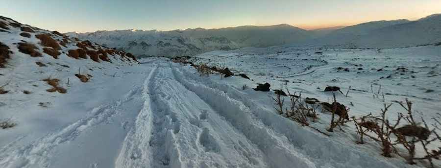
Courage is required to drive to Mount Damavand
Mount Damāvand is a stratovolcano located in Amol County of Iran. A gravel road south of the peak climbs to an elevation of 3,025m (9,924ft) above sea level. It's one of the highest roads in the country.

Where is Mount Damavand?
The peak is located in the Mazandaran Province, in the northern part of the country. At the summit, there’s a parking lot, a mosque (Sahebazzaman Mosque), and a mountain hut acting as a base camp for trekkers. To the east, an unpaved road running parallel, climbs up to 2.918m (9,573ft)
Is the road to Mount Damavand unpaved?
The road to the peak is totally unpaved. It’s very bumpy, steep, and crowded in the summer months. A 4x4 vehicle is highly recommended.
How long is the road to Mount Damavand?
The road is quite steep. Starting from Polur, a village in Amol County, Mazandaran Province, the road is 19.8 km (12.30 miles) long. Over this distance, the elevation gain is 815 meters, with an average gradient of 4.11%.
Is the road to Mount Damavand open in winter?
Set high in the central part of the Alborz Mountain range, the gravel road is typically blocked in winter due to heavy snowfalls, meaning cars cannot reach this area during that time.
Pic: Arek Pawłowski