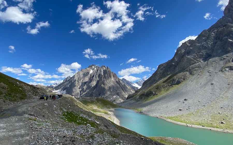
The Road to Kaobal Gali is Recommended for Drivers with Strong Nerves
Kaobal Gali is a high mountain pass at an elevation of 4,167m (13,671 ft) above sea level, located in the northern part of India.

Where is Kaobal Gali?
The pass, also known as Kabul Gali, is situated north of Zoji La, on the boundary between the Jammu and Kashmir and Ladakh union territories, within the scenic Gurez Valley. Due to its high elevation, travelers have a high risk of experiencing AMS (Altitude Mountain Sickness).
Is Kaobal Gali Unpaved?
The road through the summit is completely unpaved and in very poor condition. A 4x4 vehicle is required to navigate this challenging route.
How Long is the Road Through Kaobal Gali?
The pass is 62.6 km (38.89 miles) long, running east-west from Dras to Gujrind.
Is the Road Through Kaobal Gali Open?
Set high in the Himalayan range, the road is impassable in winter. Due to its location along the Line of Control, the road is restricted for civilians and has remained closed for security reasons for several decades.
Pic: Khursheed Parray