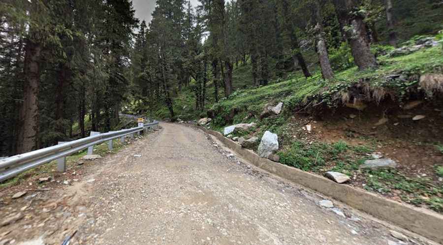
Jalori Pass is an isolated road full of adventure in India
Jalori Pass is a high mountain pass at an elevation of 3,134m (10,282ft) above sea level, situated in the Kullu district of Himachal Pradesh, India. The pass is the nearest mountain pass from Delhi, approximately 600 km away, and is featured on every adventure tourist’s map.

Can you drive to Jalori Pass?
The road to the summit is called NH305. It is mostly paved but narrow, steep, uneven, and full of potholes, making it a bumpy ride. The road to the top is both scenic and challenging.
How long is Jalori Pass?
The pass is 43.1 km (26.78 miles) long, running north-south from Jibhi to Anni.
Is Jalori Pass open?
Remember, this is a mountainous area, climbing up a high mountain. This pass remains closed in peak winter only. Usually, it opens around the second week of March every year and closes in mid-December, depending on the snow. Jalori Pass is the first Indian pass to open every year. The winters here are quite harsh and should always be considered. Vehicles are prone to slipping due to Frost and black ice.
Is Jalori Pass worth it?
Nestled in the peaks of the northern Himalayas, at the top of the Jaluri pass, there are restaurants available to have lunch, and a Mahakali temple known as Jalori Mata, visited by thousands of devotees from the nearby villages.
Is the road to Jalori Pass challenging?
It is drivable by all vehicles, but it is advised to go down in first gear only, according to Indian signals. From Ghayagi to Jalori Pass, the road is a mix of mud and pebbles restricting the speed of the vehicle to barely 20 kmph. After Shoja, the climb to the pass is steep and just about 3 kms before the pass, road conditions become bad, narrow and steep, which makes it more difficult to climb even in first gear. The road to the pass is narrow, with steep gradients and winding dangerous curves, but as long as you have decent enough driving experience, know how to handle a vehicle in the hills, and drive sensibly, you are absolutely safe.
Pic: Himalaya Chauhan