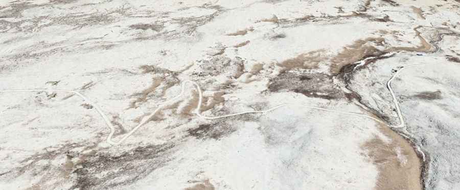
A difficult unpaved road to the international Imis La
Imis La is an international high mountain pass at an elevation of 5,290m (17,355ft) above sea level, situated on the border of India and China. It is one of the major passes over the main Himalayan Range and ranks among the highest roads in the country.
Where is Imis La?
The pass lies on the border between Leh District in Jammu and Kashmir, India, and Gar County, a district in the Ngari Prefecture of the western Tibet Autonomous Region of China. From the summit, visitors can enjoy an impressive view of the Karakorams and the Tibetan plateau.
Can I drive to Imis La?
On the Indian side, there is no road leading to the summit. On the Chinese side, the road to the summit is entirely unpaved, featuring difficult terrain and steep slopes. It remains closed during winter due to extreme conditions.
How long is the road to Imis La?
Starting from Bodpo La, a high mountain pass at an elevation of 5,774m (18,943ft) above sea level, the road to Imis La is 17.0 km (10.56 miles) long. The road is usually inaccessible to foreigners.
Road suggested by: Hugh Wilson