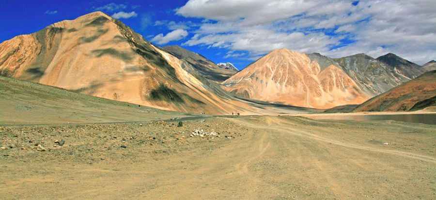
Spanggur Gap
The Spanggur Gap is an international high mountain pass at an elevation of 4.308m (14,133ft) above the sea level, located in the India (Jammu and Kashmir state)–China border.

The road to the summit is gravel, rocky, tippy and bumpy at times. The road is impassable in winters. Great trail for experienced wheelers. Avoid driving in this area if unpaved mountain roads aren't your strong point. 4x4 required. Stay away if you're scared of heights. Expect a trail pretty steep. Wet conditions may make for tough driving along the muddy road. To the east of the gap is the Spanggur Lake. The pass is located on the Line of Actual Control between China and India. During the war of 1962 there were Indian posts in Spanggur Gap, but India later withdrew from here in order to bolster defences of the nearby Indian village of Chushul. China had built a road from Rudok in Tibet right up to the Spanggur Gap capable of carrying tanks.
Pic: http://whereongoogleearth.net/2015/04/