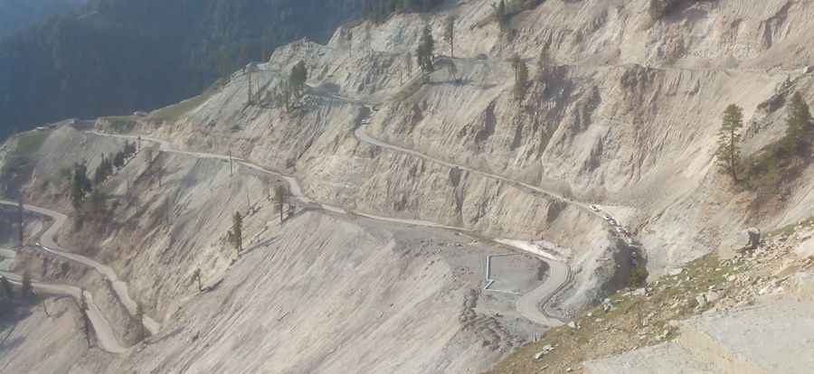
Pir Ki Gali Pass is the highest point on the Mughal Road
Pir Ki Gali Pass is a high mountain pass at an elevation of 3,485 m (11,433 ft) above sea level, located in Jammu and Kashmir, in India.

Is the road to Pir Ki Gali Pass paved?
The road to the summit, also known as Peer Ki Gali, is part of the challenging Mughal Road. It is mostly paved but very demanding, with numerous curves, narrow and steep sections, hairpin turns, and dangerous drop-offs. It’s the highest point on the Mughal Road.
How long is Pir Ki Gali Pass?
The pass stretches 50 km (31 miles) running east to west from Shopian to Poshiana. At the summit, there are small souvenir shops and a couple of shrines. The road is a pleasure to drive on, and there is usually very little traffic. Be prepared for the altitude, and take frequent stops to fully enjoy the beauty of this route.
Is Pir Ki Gali Pass open?
Set high in the Pir Panjal Range, the road is often closed during the winter months due to heavy snowfall. You will need to register vehicle and passenger details frequently, so carry all necessary vehicle documents and personal identification.
Pic: Salman Khan