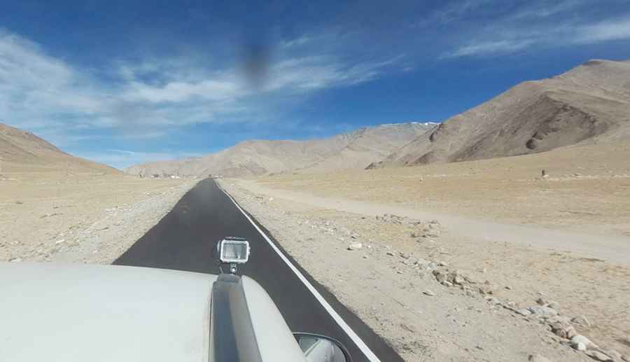
A Paved Mountain Road to Polongka La in Southern Ladakh
Polongka La is a high mountain pass at an elevation of 4,844m (15,892ft) above sea level, located in the southern part of Ladakh in the Indian state of Jammu and Kashmir.

What’s at the Summit of Polongka La?
At the summit of the pass, also known as Pologongka La or Polokongkha La, there are hundreds of Buddhist prayer flags fluttering in the wind. Be sure to carry an extra can of fuel since the nearest fuel stations are only in Leh or Keylong. There are also no ATMs nearby, so remember to carry cash.
How Long is the Road to Polongka La?
The road to the pass was fully paved in the 2020s. The drive is truly an unforgettable experience but can be challenging. It stretches 70km (43.49 miles), running east-west from Nyoma to the Leh–Manali Highway in Meroo. As you progress along the road, you’ll notice changes not only in the climate but also in the landscape and culture, with strong Tibetan influences.
What’s the Weather Like at Polongka La?
The pass is the highest point on this road and provides access to Tso Kar Lake, also known as the "White Lake," one of the three high-altitude saltwater lakes in Ladakh. Due to the high elevation, winter temperatures can plunge below -40°C, while in summer, they may rise above 30°C with extreme fluctuations during the day. Precipitation, whether rain or snow, is extremely rare. If you plan to stay overnight in one of the tents, be sure to wear protective woolen clothing and carry an extra pair. It can get very chilly and windy in the open grasslands.
Pic: Vineet Aggarwal