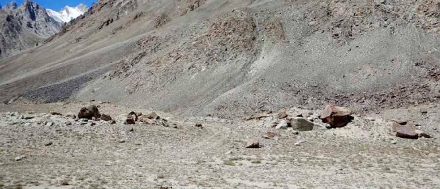
An extreme road to the summit of Saser La Pass
Saser La is a high mountain pass at an elevation of 5.411m (17,753ft) above sea level, located in the eastern part of Ladakh in Jammu and Kashmir, in India. It’s one of the highest roads of the country.

Is Saser La Pass unpaved?
Set in the Karakoram mountain range, the brutal road to the summit, also known as Saser Pass, Saser La Top or Sasser Pass, is totally unpaved. It’s a jeepable mud track braving extremely adverse weather conditions.
How long is Saser La Pass?
The pass is 52.3 km (32.49 miles) long, running east-west from Saser to Sasoma. The pass is on the ancient summer caravan route from Leh in Ladakh to Yarkand in the Tarim Basin. 4x4 vehicles with high clearance are required. Accessibility is largely limited to the summer season.
A new paved road to Saser La Pass
A new road to the summit called Sasoma–Sasser La Road is being constructed. Built by the Border Roads Organisation (BRO) under Project Himank, it will be the World's first glaciated motorable road. The road will be paved and will start from Sasoma, near the base of Siachen Glacier, going eastwards to Saser La and then descending at Gapsam near Murgo in Depsang plains. It’ll be a 56-km long road linking Sasoma in the Nubra Valley to the strategically important Daulat Beg Oldi, or DBO, Sector. The route will converge with the Darbuk-Shyok-DBO road at Murgo, reducing the distance from Leh to DBO by 79 km — from 322 km via DSDBO road to 243 km via the new road. Officials said it will be a vital link paved over unstable glaciers which frequently change their physical nature. BRO officials said the construction of the road is special due to challenges posed by glaciers and presence of moraines in the area.
Pic: http://www.tibetarchaeology.com/wp-content/uploads/2016/06/Fig.-22-768x575.jpg