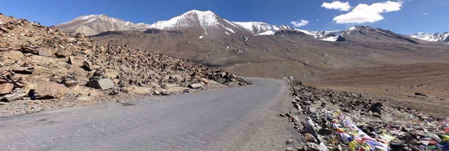
Bara-Lacha La is a mountain pass on the legendary Leh-Manali Highway
Bara-lacha la is a high mountain pass at an elevation of 4.890m (16,043ft) above sea level, located in the Lahaul and Spiti district of Himachal Pradesh, in India.

What is the meaning of Baralacha La?
Located in the northern part of the country, Baralacha means 'pass with cross roads on summit'. No food stall is available at the pass.
Is Bara-Lacha La paved?
The road through the pass is the infamous Leh-Manali highway. The road has unpaved and asphalt sections but the surface through the pass is paved. In ancient times it was part of a trade route.
How to get by car to Baralacha La?
The pass, also known as Bara-lacha Pass or Bārā Lācha La, is 161 km (100 miles) long, running from Jispa to Pang. It connects Lahaul district in Himachal Pradesh to Ladakh in Jammu and Kashmir. When the snow melts and the road is open for travel, the peculiar shaped snow hiding between cliffs is a sight to watch. As you reach the Baralacha La, you come across the cool blue waters of the Suraj Tal that is usually marked by an outline of snow at its banks. There is a sharp contrast to the surrounding gray and off white coloured rocks that are scattered around the road and the lake.
Is Bara-Lacha La open?
Set high in Zanskar range, it is open for only about six months in a year in summer. Tourists are advised to visit the pass during the months of April to October. It is the first pass to close on Leh-Manali road and the last one to open. The highway is prone to freak landslides that can cause it to be all slush and mud, creating sporadic traffic jams. During monsoon, traveling on this high altitude steep road is not safe.
Pic: Yuji Kimura