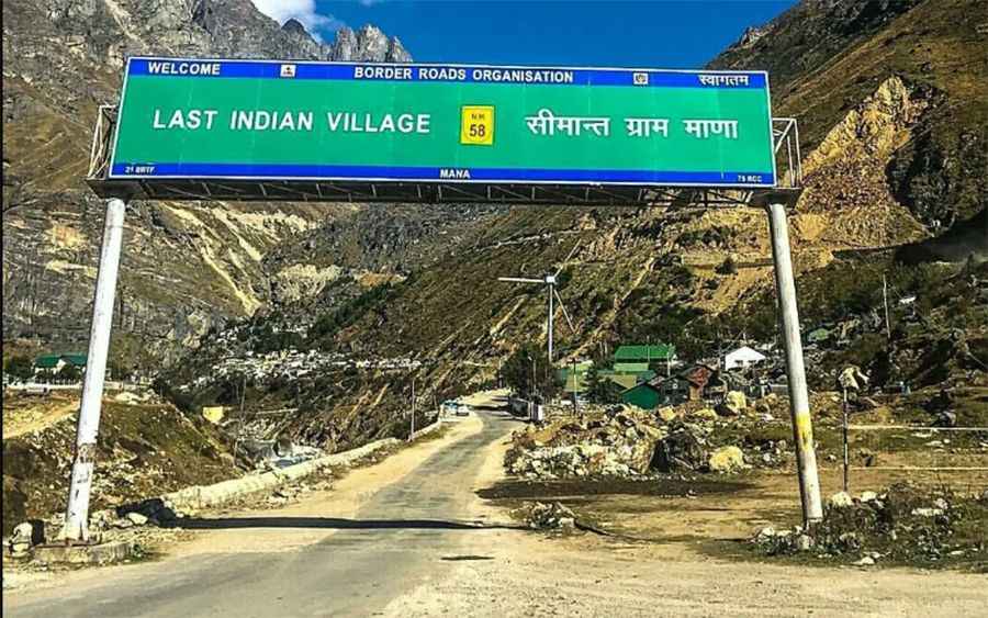
Mana La: everything you need to know about this famed road
Mana Pass is an international high mountain pass at an elevation of 5,626m (18,458ft) above sea level, located on the border of India and China. It’s one of the highest roads in the country.

Where is Mana La Pass?
Set high in the Himalayas, it’s one of the highest vehicle-accessible passes in the world. The pass, also known as Māna La, Chirbitya, Chongnyi La, Chirbitya-la, or Dungri La, connects India (the state of Uttarakhand) and Tibet within the Nanda Devi Biosphere Reserve of the Zanskar mountain range in Uttarakhand.
Can you drive to Mana La?
Do not take this drive if you have respiratory problems or any type of heart condition. There's a high risk of landslides. In India, the road to the pass is a well-graded gravel-dirt road with some paved sections, constructed in the 2005-2010 period for the Indian military by the Border Roads Organization. The road will be widened to two lanes for better and faster movement of troops and will be complete in 2026-2027. The pass is reached from the south by an extension of India National Highway 7 (NH-7). In China, the road to the summit was recently built, and conditions are unknown.
Is Mana Pass open now?
This road is usually impassable from late October through late June or early July (depending on snow). The pass is not open for civilians, and a standard Inner Line Permit (ILP) does not allow you to drive on it. Civilians are not allowed to go further than a place called Ghastoli. You will need permits from the local police, the local army, and the district court to go up there, and even if you have all of those, the army can still restrict access if they choose to do so. The pass is only used by the Army and ITBP for carrying supplies to border posts. Several people have reported that permits are not given out to tourists, with very few exceptions.
Pic: PRAYANK VERMA