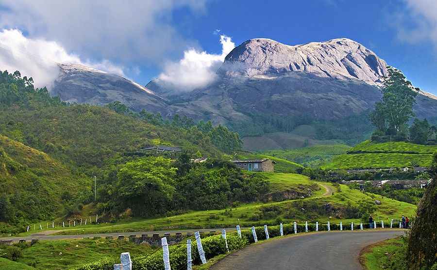
A Cool Road to Munnar in the Western Ghats
Munnar is a popular hill-resort town in the southwestern state of Kerala, India, at an elevation of 1,700m (5,600ft) above sea level. The town is located in the Western Ghats, in the Idukki district.

How Long is Munnar Road?
The winding, twisty road to the town is called NH-85. It’s paved but narrow, with curvy and steep sections. Starting at Kochi, the drive is 118km (73 miles) long. Kothamangalam is on the way and is 80 km away from Munnar.
Is Munnar Road Dangerous?
The road is narrow with lots of bends and curves. Hire a taxi or a driver with local experience if you are not familiar with similar conditions. The road can be dangerous, especially if you are driving there for the first time. At times, the road becomes covered in fog, making it impossible to see even with your fog lamps on.
How Long Does it Take to Drive Munnar Road?
Driving the road will take most people between 5.5 and 6 hours if you are driving up or down since the road is blind in some places, and there are a lot of trucks and buses that seem to drive as if they own the road. Once you reach Adimali, Munnar is just 30 kilometers away - but it will take almost an hour to reach. This is the last place where you can spot a decent restaurant before Munnar.
Is Munnar Road Worth It?
The drive offers sweeping views, especially during the early mornings. While driving on the Munnar road, you are ensnared in the sweet fragrance of the fresh tea leaves from innumerable tea plantations. Additionally, you can see many refreshing waterfalls and panoramic views of the Western Ghats.
Pic: By Bimal K C from Cochin, India (Good Morning Munnar) [CC BY 2.0 (http://creativecommons.org/licenses/by/2.0)], via Wikimedia Commons