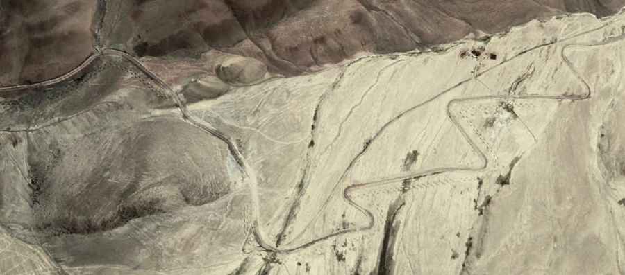
Driving along the curvy road to Kyungang La
Kyungang La is a high mountain pass at an elevation of 5,341m (17,522ft) above sea level, located in Xinjiang Province of China.

Situated high near the Indian border, the road to the summit, also known as Gyagong La and Jungang La, is entirely paved. It’s called Ban Ying Highway (or G695). This route has hundreds of turns and is not recommended if your passengers are prone to car sickness. Don’t overeat before the journey.
The road to the summit runs north-south from Kongka La to Changge Longge.