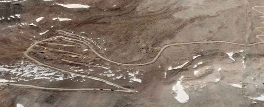
Road trip guide: Conquering Bongru La
Bongru La is a high mountain pass at an elevation of 5.838m (19,153ft) above the sea level, located in the Ngari Prefecture of China's Tibet Autonomous Region. It's one of the highest roads of the country.

Set high near the Indian-controlled part of the disputed Demchok sector, the road to the summit is totally unpaved. It’s called G695. 4x4 vehicle recommended. Facilities like electricity, medical aid, hot running water, western toilets etc. are rare to find. There are high chances of getting affected by AMS (Altitude Mountain Sickness). The area is totally closed to civilians. The road is narrow and heavily used by military vehicles. The road to the summit is very steep, hitting a grueling 17% of maximum gradient through some of the ramps. Starting at Ngolog, the ascent is 28.4km (17.64 miles) long. Over this distance the elevation gain is 1.600 meters. The average gradient is 5.63%.