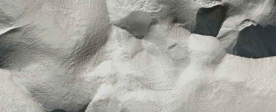
A Brutal Road to Jang Rang La: Extremely Low Oxygen for Engine Combustion
Jang Rang La is a high mountain pass at an elevation of 5,793 m (19,005 ft) above sea level, located in Zanda County of Ngari Prefecture in the Tibet Autonomous Region of China. It's one of the world's highest motorable roads.

How Long is the Road to Jang Rang La?
The road to the summit, also known as Shangrang La and Xia Rang La, is completely unpaved and suitable for 4x4 vehicles only. It’s essentially a gravel mule track. The pass is 47.7 km (29.63 miles) long, running east-west from Biwu Sisa to Menzha.
How to Get Ready Before Driving to Jang Rang La?
If your car is not properly prepared, it will not have enough power for the climb, especially considering that the track is very steep and rough. The oxygen levels here are less than half of those found at sea level. Most people experience at least some minor symptoms of altitude sickness when crossing passes like this. Minor symptoms include a headache, shortness of breath, and nausea. Many Chinese and foreign travelers who cross this pass by bus take an oxygen canister or oxygen pillow with them to help relieve some of the symptoms. It’s one of the highest roads in the country.
Can I Drive My Vehicle to Jang Rang La?
Set high on the northern side of the Himalayas, the road is an old unsurfaced track that ends near the Indian border. It’s impassable during the winter months. Unfortunately, access to the area for non-Chinese nationals is very difficult.