Driving one of the highest roads in the world to Lo La
Lo La is a high mountain pass at an elevation of 5,578m (18,300ft) above sea level, located in Ngamring County, a county of Xigazê in the Tibet Autonomous Region of China. It’s one of the highest roads in the country.
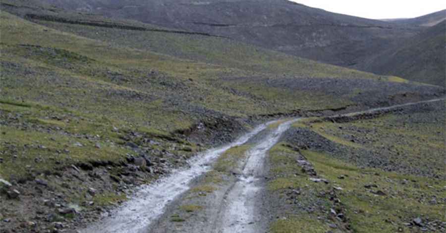
Is the road to Lo La unpaved?
Located northwest of Sangsang, in the Gangdise Mountain range, the road to the summit is totally unpaved and very rocky. It’s called Y231 (231 Country Road). A 4x4 vehicle is required.
How long is the road to Lo La?
The pass is 47km (29.20 miles) long, running north-south from Cazê (a township in Ngamring County) to the small village of Xialacun, on the S205 Provincial Road.
Pics: Martin Adserballe. http://viewfinderpanoramas.org/Lo-la/2a.jpg