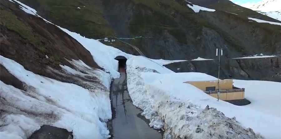
G217 is a Chinese remote paved road
China National Highway 217 (G217) is a challenging road located in southwest Xinjiang Uyghur Autonomous Region, in the northwestern part of China.

How long is China National Highway 217?
The lonely drive was recently paved. It’s 1,753 km (1,089 mi) long. The road starts from Altay (also known as Aletai), a county-level city in Ili Kazakh Autonomous Prefecture, in far northern Xinjiang, and runs through the Taklamakan Desert (also known as Taklimakan and Teklimakan), one of the world's largest sandy wastes, bounded by the Kunlun Mountains to the south, the Pamir Mountains and Tian Shan (ancient Mount Imeon) to the west and north, and the Gobi Desert to the east. The section between Dushanzi and Kuqa crosses the Tianshan Mountains and is commonly known as Duku Highway. The road ends near Hotan (also called Khotan), the seat of Hotan Prefecture in southwestern Xinjiang.
Is China National Highway 217 (G217) open?
The road tops out at 3.538m (11,607ft) above sea level by Haxilegen Pass. The highway is only open around five months (from May to October) every year due to natural factors such as snow and ice. The road is restricted for vehicles larger than 7 seats. High risk of mudslides.
Pic: Chinese bridge