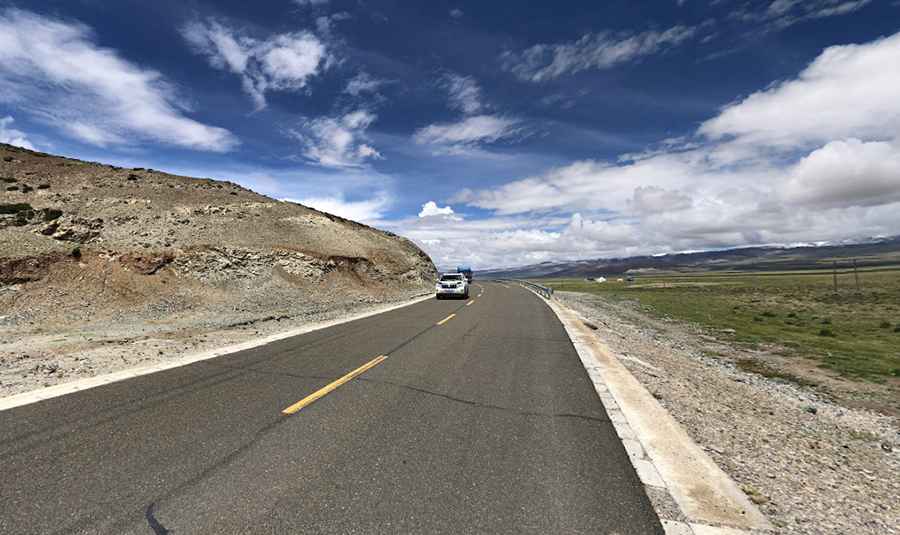
Ganja La in Tibet is an absolute must for road lovers
Gänja La is a high mountain pass at an elevation of 4.775m (15,666ft) above sea level, located in Drongpa County of Shigatse Prefecture in China's Tibet Autonomous Region.

Is Gänja La paved?
Located in the western part of Central Tibet, the road to the summit, also known as Gaenja La, is called 219 National Road, also known as Tibet-Xinjiang Highway. On this road, also known as the "Sky Road", you're firmly on altitudes over 5,000m. Construction of this road started in 1951. It was completed in 1957 and fully paved in 2013.
How challenging is Gänja La?
For someone not acclimatized, this can be life-threatening. The stunning landscape is also among the most unforgiving on Earth. You'll encounter vast stretches without access to food or water, sometimes for tens or even hundreds of kilometers. The route includes numerous high-altitude passes and the absence of showers or even a chance to wash for weeks. Nighttime temperatures can plummet to -25°C or lower. The journey is long and challenging, traversing multiple mountain passes at altitudes of 5,000, 4,000, and 3,000 meters.
How long is Gänja La?
The pass is 48.3 km (30 miles) long running from Zhaci Village to Zhuzhucun.
Road suggested by: Hugh Wilson
Pic: Bhushan Raj