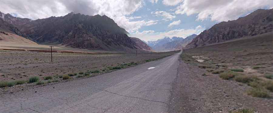
Driving through Nayzatash Pass on the Pamir Highway
Pereval Nayzatash is a high mountain pass at an elevation of 4.134m (13,562ft) above sea level, located in the Gorno-Badakhshan Autonomous Region of Tajikistan.

Where is Nayzatash Pass?
Set high in the Pamir Mountains, within the Badakhshan National Park, the road to the summit, also known as Najzatos Pass, Nayzatash Pass, Nezatash Pass, Neza-Tash Pass or Aghbai Nayzatosh, is the historical Pamir Highway, officially called M41. Most of the road is paved, except for the mountain passes. The road is heavily damaged in places by erosion, earthquakes, landslides, and avalanches.
How long is Nayzatash Pass?
Running through a lunar landscape, a 4x4 vehicle is recommended due to the conditions of the road. The pass is 185km (114 miles) long, running from Dzhiland to Murghab.

Why is it called Nayzatash Pass?
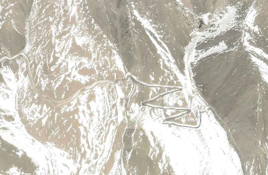
The pass is named after an international high mountain pass on the border of China and Tajikistan, at an elevation of 4.541m (14,898ft) above sea level in the Sarikol Range, at 37.595778, 74.936000. The name of the path means "spear stone" in Kyrgyz as it is named after a rock near the location. The road to the old pass is 45.7 km (28.39 miles) long, starting from Tashkorgan, also known as Tashkurgan. The road to the summit is very steep, and the elevation gain is 1590 m. During the 19th century, Neztash Pass was frequently used by European explorers passing through the region. The road is extremely challenging, with many hairpin turns, steep parts, and narrow sections. Located in the middle of nowhere, if your ideal road trip involves getting way off the beaten track, then this is the drive for you.
Pic: Piotr Varadero